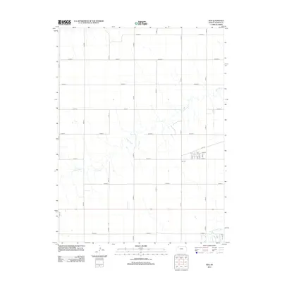
2012 Map of Gem
USGS Topo · Published 2012About this map
The settlement of Gem centers this portion of the High Plains, illustrating the rigid section-line grid that defines the agricultural landscape of Thomas County. Small-town infrastructure is captured in detail, from the grid of Main St and Elm St to the nearby Gem Cem southeast of the village center. This 2012 survey highlights the fundamental relationship between the semi-arid terrain and its drainage systems, dominated here by the meandering path of Prairie Dog Cr which cuts across the township lines. To the south, the headwaters of the N Fork Solomon River appear as a subtle but vital geographical feature. The map provides a clear record of the rural road network, where named routes like Lacey Rd transition into numbered county roads, reflecting the organized expansion of Kansas ranching and farming communities into the early 21st century.
Find a feature on this map
18 named features on this map. Tap any name to fly to it.
Don’t see what you’re looking for? This feature index may not catch every label — zoom into the map to look around manually.
Map Details
Editions of this 2012 Gem Map
This is the sole edition of this map. No revisions or reprints were ever made.
Other maps of this area

1943 · Colby
USGS Topo · 1:62,500

1951 · Achilles
USGS Topo · 1:62,500

1951 · Chardon
USGS Topo · 1:62,500

1954 · Goodland
USGS Topo · 1:250,000

1956 · Goodland
USGS Topo · 1:250,000

1957 · Goodland
USGS Topo · 1:250,000

1967 · Colby SE
USGS Topo · 1:24,000

1967 · Colby
USGS Topo · 1:24,000

1978 · Long Draw South
USGS Topo · 1:24,000

1978 · Achilles SE
USGS Topo · 1:24,000