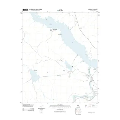
2012 Map of Gene Wash
USGS Topo · Published 2012About this map
Parker Dam stands as the central engineering feat along the Colorado River in this 2012 survey, anchoring a landscape defined by large-scale water management. The map illustrates the sophisticated infrastructure of the Colorado River Aqueduct, showing its path from the Whitset Intake through the Copper Basin Tunnel and into key storage facilities like the Gene Wash Reservoir and Copper Basin Reservoir. These structural elements highlight the region's role in Western water distribution during the early 21st century.
Find a feature on this map
41 named features on this map. Tap any name to fly to it.
Don’t see what you’re looking for? This feature index may not catch every label — zoom into the map to look around manually.
Map Details
Editions of this 2012 Gene Wash Map
This is the sole edition of this map. No revisions or reprints were ever made.
Other maps of this area

1911 · Parker
USGS Topo · 1:125,000

1943 · Giers Basin
USGS Topo · 1:62,500

1943 · Whipple Mts.
USGS Topo · 1:62,500

1943 · Parker
USGS Topo · 1:62,500

1949 · Parker
USGS Topo · 1:62,500

1950 · Parker Dam Area
USGS Topo · 1:62,500

1950 · Parker
USGS Topo · 1:62,500

1950 · Whipple Mts
USGS Topo · 1:62,500

1952 · Whipple Mts
USGS Topo · 1:62,500

1954 · Needles
USGS Topo · 1:250,000