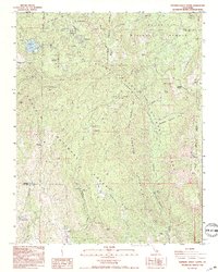
1993 Map of General Grant Grove
USGS Topo · Published 1995About this map
General Grant Tree stands as a central landmark within this portion of Kings Canyon National Park, where the high Sierras meet managed timberlands. The map documents the residential clusters of Wilsonia and Grant Grove Village, along with the recreational hub at Sequoia Lake. To the south, the transition into Sequoia National Forest reveals smaller settlements like Hartland and Sierra Glen, tucked into the drainages of Eshom Creek and Dry Creek.
Find a feature on this map
49 named features on this map. Tap any name to fly to it.
Don’t see what you’re looking for? This feature index may not catch every label — zoom into the map to look around manually.
Map Details
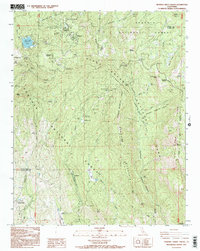
Editions of this 1993 General Grant Grove Map
2 editions found
Other maps of this area

1903 · Tehipite
USGS Topo · 1:125,000

1905 · Tehipite
USGS Topo · 1:125,000

1922 · Trimmer
USGS Topo · 1:96,000

1924 · Dinuba
USGS Topo · 1:125,000

1942 · Dunlap
USGS Topo · 1:62,500

1944 · Dunlap
USGS Topo · 1:62,500

1948 · Fresno
USGS Topo · 1:250,000

1952 · Tehipite Dome
USGS Topo · 1:62,500

1952 · Patterson Mountain
USGS Topo · 1:62,500

1955 · Fresno
USGS Topo · 1:250,000