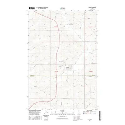
2017 Map of Genesee
USGS Topo · Published 2017About this map
Genesee sits at the heart of this Idaho landscape, where the plateau terrain is deeply etched by watercourses like Cow Cr and Union Flat Cr. The settlement pattern reflects a stable agricultural community defined by its road network and religious heritage. The presence of Saint Johns Lutheran Cem and Genesee Valley Lutheran Cem serves as a vital point of reference for family historians and genealogists researching the Palouse region's local roots.
Find a feature on this map
52 named features on this map. Tap any name to fly to it.
Don’t see what you’re looking for? This feature index may not catch every label — zoom into the map to look around manually.
Map Details
Editions of this 2017 Genesee Map
This is the sole edition of this map. No revisions or reprints were ever made.
Other maps of this area
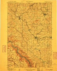
1910 · Pullman
USGS Topo · 1:125,000
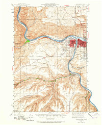
1945 · Clarkston
USGS Topo · 1:62,500
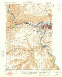
1948 · Clarkston
USGS Topo · 1:62,500
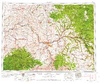
1955 · Pullman
USGS Topo · 1:250,000
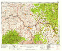
1958 · Pullman
USGS Topo · 1:250,000
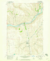
1958 · Lapwai
USGS Topo · 1:24,000
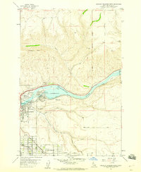
1958 · Lewiston Orchards North
USGS Topo · 1:24,000
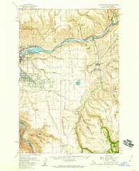
1958 · Lewiston Orchards
USGS Topo · 1:62,500
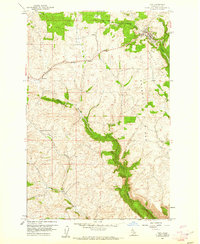
1960 · Troy
USGS Topo · 1:24,000
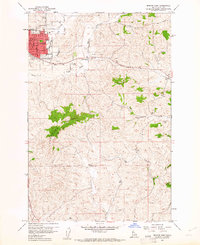
1960 · Moscow East
USGS Topo · 1:24,000