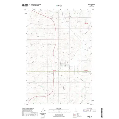
2020 Map of Genesee
USGS Topo · Published 2020About this map
Genesee sits at the heart of this Palouse landscape, serving as a hub where several county-spanning routes converge. The township is characterized by its systematic grid, with streets like N Jackson St and W Walnut Ave defining the residential and commercial core. This 2020 survey records the enduring presence of local heritage sites, specifically the Genesee Valley Lutheran Cem and Saint Johns Lutheran Cem, which offer significant value for genealogical research in this portion of Latah County. The surrounding terrain is intricately carved by several drainage systems, including Cow Cr and Union Flat Cr, reflecting the agricultural character of the region. Transportation remains anchored by historical alignments like Old Hwy 95, which parallels the modern highway through the rolling hills.
Find a feature on this map
54 named features on this map. Tap any name to fly to it.
Don’t see what you’re looking for? This feature index may not catch every label — zoom into the map to look around manually.
Map Details
Editions of this 2020 Genesee Map
This is the sole edition of this map. No revisions or reprints were ever made.
Other maps of this area

1910 · Pullman
USGS Topo · 1:125,000

1945 · Clarkston
USGS Topo · 1:62,500

1948 · Clarkston
USGS Topo · 1:62,500

1955 · Pullman
USGS Topo · 1:250,000

1958 · Pullman
USGS Topo · 1:250,000

1958 · Lapwai
USGS Topo · 1:24,000

1958 · Lewiston Orchards North
USGS Topo · 1:24,000

1958 · Lewiston Orchards
USGS Topo · 1:62,500

1960 · Troy
USGS Topo · 1:24,000

1960 · Moscow East
USGS Topo · 1:24,000