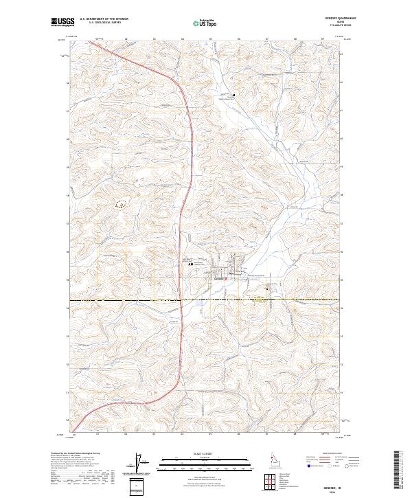
2024 Map of Genesee
USGS Topo · Published 2024About this map
Genesee sits at the heart of this North Idaho landscape, where the agricultural plateaus of Latah Co meet the northern edge of Nez-Perce Co. The town's layout is centered around an grid of streets including Genesee Ave, W Walnut Ave, and N Jackson St, serving as a hub for the surrounding grain country. Evidence of the area's spiritual and social history is found in the cluster of community sites, notably the Valley Lutheran Ch and several burial grounds like Saint Mary's Catholic Cem and the Genesee City Cem. The terrain is defined by a series of drainages, with Cow Creek and Union Flat Creek carving through the hills. This contemporary survey captures the enduring network of rural roads, such as Old Hwy 95 and Central Grade, that follow the natural contours of the land to connect remote farmsteads to the town center.
Find a feature on this map
56 named features on this map. Tap any name to fly to it.
Don’t see what you’re looking for? This feature index may not catch every label — zoom into the map to look around manually.
Map Details
Editions of this 2024 Genesee Map
This is the sole edition of this map. No revisions or reprints were ever made.
Other maps of this area

1910 · Pullman
USGS Topo · 1:125,000

1945 · Clarkston
USGS Topo · 1:62,500

1948 · Clarkston
USGS Topo · 1:62,500

1955 · Pullman
USGS Topo · 1:250,000

1958 · Pullman
USGS Topo · 1:250,000

1958 · Lapwai
USGS Topo · 1:24,000

1958 · Lewiston Orchards North
USGS Topo · 1:24,000

1958 · Lewiston Orchards
USGS Topo · 1:62,500

1960 · Troy
USGS Topo · 1:24,000

1960 · Moscow East
USGS Topo · 1:24,000