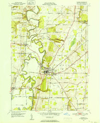
1950 Map of Geneseo
USGS Topo · Published 1952About this map
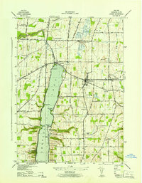
The Genesee River snakes in tight, dramatic oxbows through this mid-century landscape, defining the border between the towns of York and Geneseo. The village of Geneseo serves as a primary hub, anchored by the State Teachers College and the local Armory. This era shows a community in transition; while the Pennsylvania Railroad and Erie Railroad continue to track through the valley, industrial shifts are evident at the Salt Mines (Inactive) near the western edge. Beyond the village center, the map documents a network of rural landholdings accessed by ways like Roots Tavern Road and Oxbow Lane. Natural landmarks such as Wheeler Gully Falls and the significant drop of Fall Brook Falls highlight the area's sharp topographic relief, while the Boyd-Parker State Park marks a dedicated recreational and commemorative space near Cuylerville.
Find a feature on this map
50 named features on this map. Tap any name to fly to it.
Don’t see what you’re looking for? This feature index may not catch every label — zoom into the map to look around manually.
Map Details
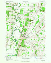
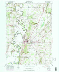
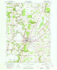
Editions of this 1950 Geneseo Map
4 editions found
Other maps of this area

1901 · Honeoye
USGS Topo · 1:62,500

1902 · Wayland
USGS Topo · 1:62,500

1904 · Wayland
USGS Topo · 1:62,500

1904 · Caledonia
USGS Topo · 1:62,500

1904 · Honeoye
USGS Topo · 1:62,500

1905 · Nunda
USGS Topo · 1:62,500

1934 · Rush
USGS Topo · 1:24,000

1942 · Conesus
USGS Topo · 1:31,680
1942 · Livonia
USGS Topo · 1:31,680

1943 · Mount Morris
USGS Topo · 1:24,000