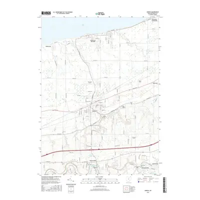
2016 Map of Geneva
USGS Topo · Published 2016About this map
The Grand River snakes through the southern reaches of this Ashtabula County landscape, where the historic Harpersville Bridge and Mechanicsville Bridge provide vital crossings near the settlements of Harpersfield and Mechanicsville. This area transitions from the river valley northward toward the developed core of Geneva, a town defined by its grid of streets such as N Broadway St and its proximity to Lake Erie. Genealogy researchers will find a significant concentration of burial grounds, including the centrally located Evergreen Cem and the more outlying Brakemans Corners Cem and Sexton Cem.
Find a feature on this map
114 named features on this map. Tap any name to fly to it.
Don’t see what you’re looking for? This feature index may not catch every label — zoom into the map to look around manually.
Map Details
Editions of this 2016 Geneva Map
This is the sole edition of this map. No revisions or reprints were ever made.
Other maps of this area

1904 · Chardon
USGS Topo · 1:62,500

1905 · Ashtabula
USGS Topo · 1:62,500

1905 · Perry
USGS Topo · 1:62,500

1905 · Jefferson
USGS Topo · 1:62,500

1906 · Chardon
USGS Topo · 1:62,500

1907 · Jefferson
USGS Topo · 1:62,500

1950 · Cleveland
USGS Topo · 1:250,000

1956 · Cleveland
USGS Topo · 1:250,000

1959 · East Trumbull
USGS Topo · 1:24,000

1960 · Ashtabula South
USGS Topo · 1:24,000