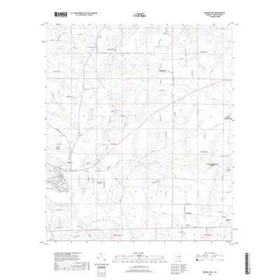
2018 Map of Geneva East
USGS Topo · Published 2018About this map
The Choctawhatchee River and its confluence with the Pea River define the southern landscape of this Geneva County region, where the city of Geneva serves as the primary hub. Protected by the Geneva Levee, the town's street grid is clearly visible, including thoroughfares like E Promenade Ave and S Commerce St. The surrounding countryside is dotted with small communities such as Eunola, Thurston, and Highfalls, many of which grew around rural crossings and water-driven industry, as evidenced by the Vanlandingham Mill and Wheeler Mill Br.
Find a feature on this map
132 named features on this map. Tap any name to fly to it.
Don’t see what you’re looking for? This feature index may not catch every label — zoom into the map to look around manually.
Map Details
Editions of this 2018 Geneva East Map
This is the sole edition of this map. No revisions or reprints were ever made.
Other maps of this area

1942 · Enterprise
USGS Topo · 1:125,000

1949 · Hobbs Crossroads
USGS Topo · 1:24,000

1950 · Hobbs Cross Roads
USGS Topo · 1:24,000

1950 · Izagora
USGS Topo · 1:24,000

1950 · Esto
USGS Topo · 1:24,000

1951 · Esto
USGS Topo · 1:24,000

1953 · Dothan
USGS Topo · 1:250,000

1954 · Dothan
USGS Topo · 1:250,000

1954 · Tallahassee
USGS Topo · 1:250,000

1955 · Dothan
USGS Topo · 1:250,000