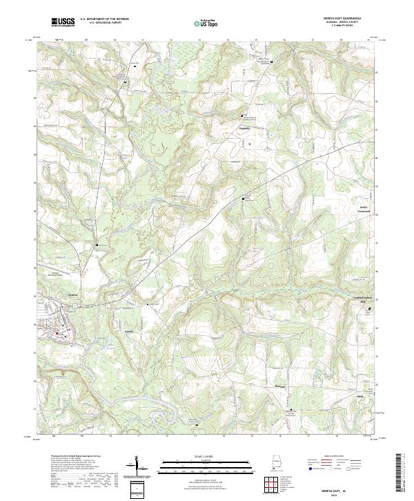
2024 Map of Geneva East
USGS Topo · Published 2024About this map
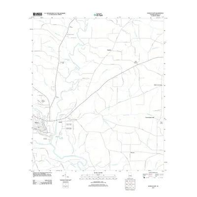
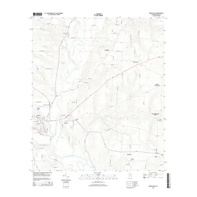
The Choctawhatchee River and Pea River converge just south of Geneva, defining a landscape shaped by water and agriculture. As the county seat, Geneva serves as the primary hub, anchored by the Geneva County Courthouse and Geneva City Hall. The map reveals a network of rural settlements like Eunola, Highfalls, and Kellys Crossroads, often centered around community institutions such as Antioch Baptist Church and the Wesley Chapel United Methodist Church.
Find a feature on this map
147 named features on this map. Tap any name to fly to it.
Don’t see what you’re looking for? This feature index may not catch every label — zoom into the map to look around manually.
Map Details
Editions of this 2024 Geneva East Map
This is the sole edition of this map. No revisions or reprints were ever made.
Historical Maps of Geneva Through Time
24 maps found
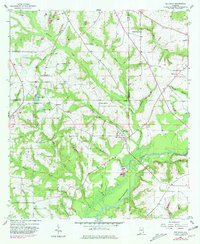
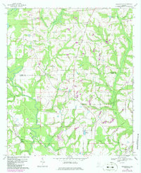
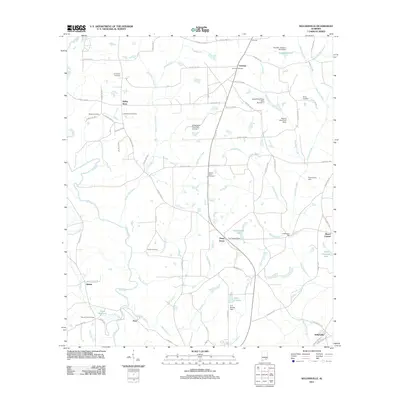
1957 Bellwood
Geneva County, AL
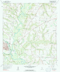
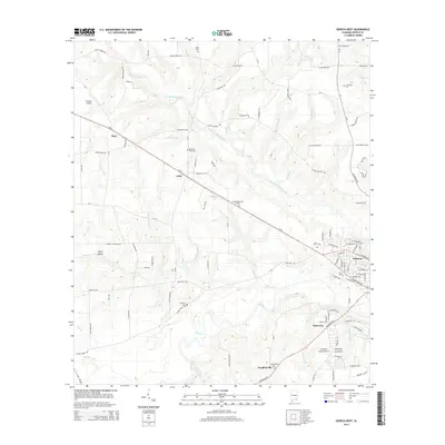
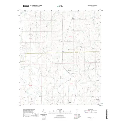
1957 Geneva East
Geneva County, AL
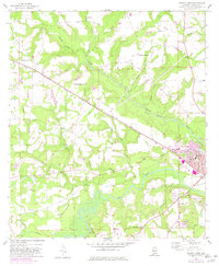
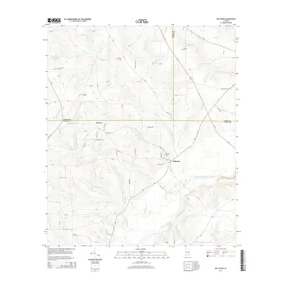
1957 Geneva West
Geneva County, AL
1968 Sellersville
Geneva County, AL
2011 Bellwood
Geneva County, AL
2011 Geneva East
Geneva County, AL
2011 Geneva West
Geneva County, AL
2011 Sellersville
Geneva County, AL
2014 Bellwood
Geneva County, AL
2014 Geneva East
Geneva County, AL
2014 Geneva West
Geneva County, AL
2014 Sellersville
Geneva County, AL
2018 Bellwood
Geneva County, AL
2018 Geneva East
Geneva County, AL
2018 Geneva West
Geneva County, AL
2018 Sellersville
Geneva County, AL
2020 Bellwood
Geneva County, AL
2020 Geneva East
Geneva County, AL
2020 Geneva West
Geneva County, AL
2020 Sellersville
Geneva County, AL
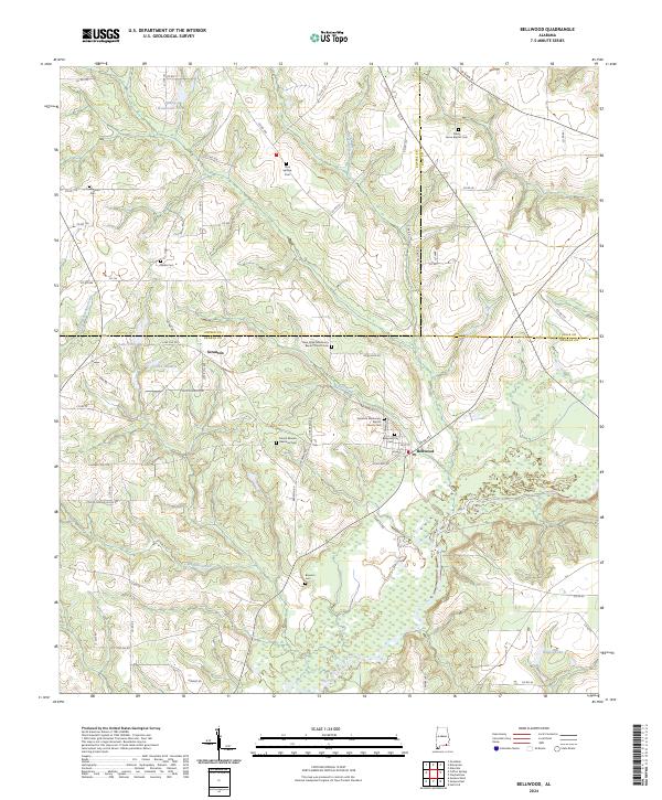
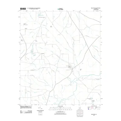
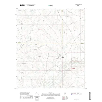
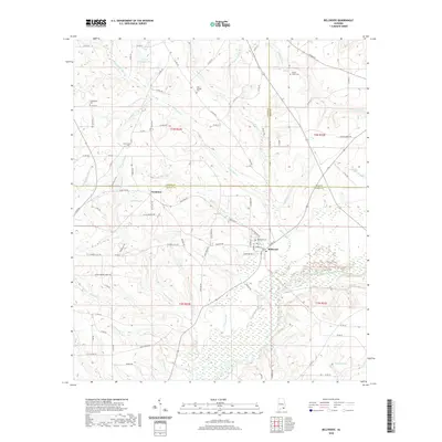
2024 Bellwood
Geneva County, AL
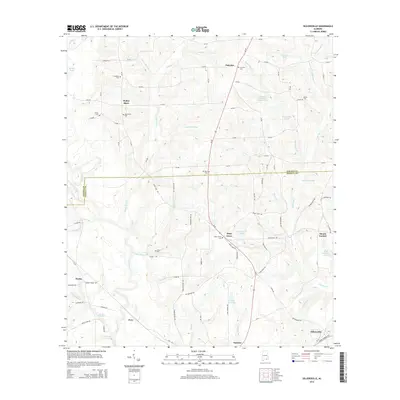
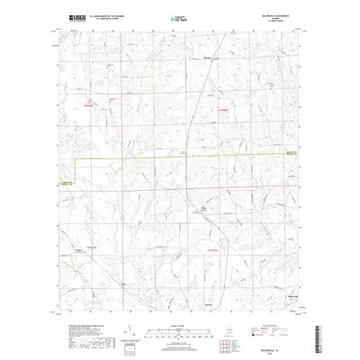
2024 Geneva East
Geneva County, AL
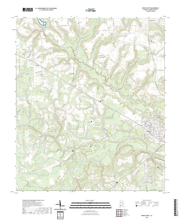
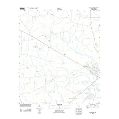
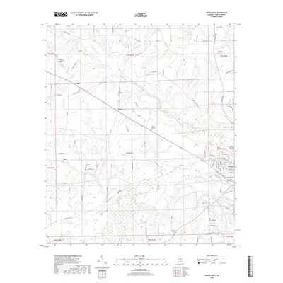
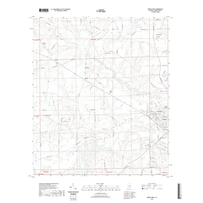
2024 Geneva West
Geneva County, AL
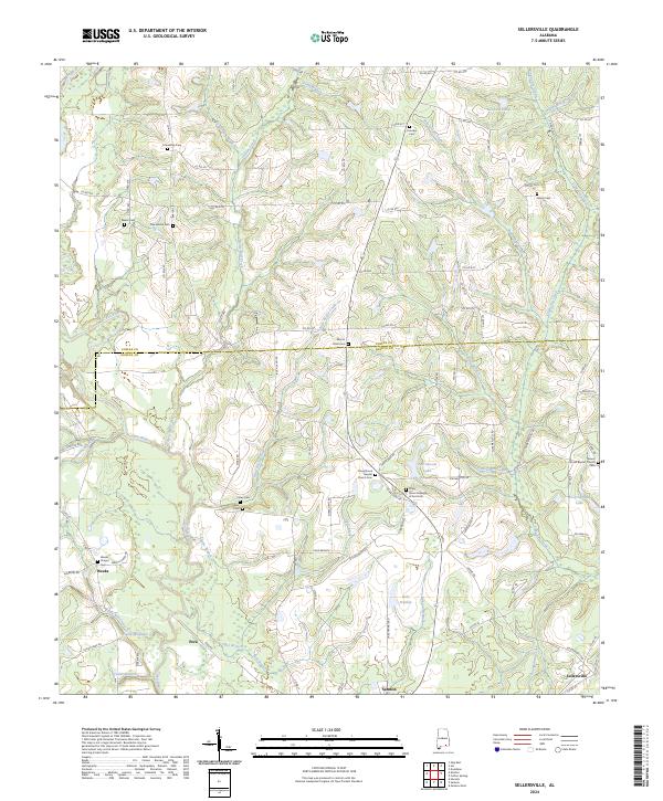
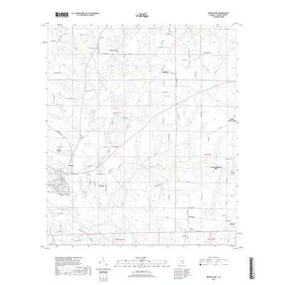
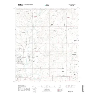
2024 Sellersville
Geneva County, AL