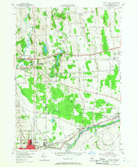
1953 Map of Geneva North
USGS Topo · Published 1967About this map
Geneva anchors the southwestern corner of this survey, where the city limits meet the industrial and agricultural corridors of the Seneca River. This mid-century landscape is defined by its transit networks, featuring the newly constructed New York State Thruway (Toll Road) bisecting the northern half of the region. Older modes of transport persist in the path of the New York Central Railroad and the Lehigh Valley Railroad, which serve rural hamlets like West Junius (Junius Sta) and Packwood Corners.
Find a feature on this map
73 named features on this map. Tap any name to fly to it.
Don’t see what you’re looking for? This feature index may not catch every label — zoom into the map to look around manually.
Map Details
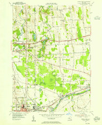
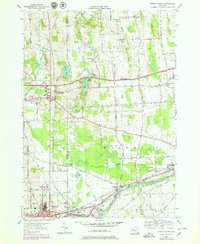
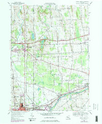
Editions of this 1953 Geneva North Map
4 editions found
Other maps of this area

1899 · Palmyra
USGS Topo · 1:62,500

1902 · Geneva
USGS Topo · 1:62,500

1902 · Clyde
USGS Topo · 1:62,500

1902 · Phelps
USGS Topo · 1:62,500

1902 · Palmyra
USGS Topo · 1:62,500

1942 · Stanley
USGS Topo · 1:31,680

1943 · Lyons
USGS Topo · 1:31,680

1943 · Geneva North
USGS Topo · 1:31,680

1943 · Geneva South
USGS Topo · 1:31,680

1943 · Phelps
USGS Topo · 1:31,680