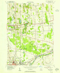
1953 Map of Geneva North
USGS Topo · Published 1955About this map
Ontario and Seneca counties meet here amidst a productive landscape of truck farms, orchards, and gravel operations. The Seneca River and the Canandaiuga Outlet dominate the southern portion of the sheet, providing the industrial and transport corridor that fueled the growth of Geneva and Waterloo. North of the river, the landscape is defined by the unique topography of glacial drumlins and numerous small water bodies like Junius Ponds and Bullhead Pond.
Find a feature on this map
78 named features on this map. Tap any name to fly to it.
Don’t see what you’re looking for? This feature index may not catch every label — zoom into the map to look around manually.
Map Details
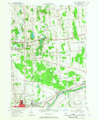
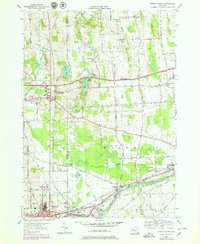
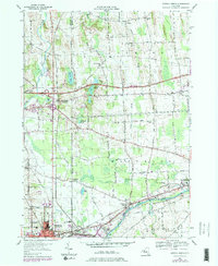
Editions of this 1953 Geneva North Map
4 editions found
Other maps of this area

1899 · Palmyra
USGS Topo · 1:62,500

1902 · Geneva
USGS Topo · 1:62,500

1902 · Clyde
USGS Topo · 1:62,500

1902 · Phelps
USGS Topo · 1:62,500

1902 · Palmyra
USGS Topo · 1:62,500

1942 · Stanley
USGS Topo · 1:31,680

1943 · Lyons
USGS Topo · 1:31,680

1943 · Geneva North
USGS Topo · 1:31,680

1943 · Geneva South
USGS Topo · 1:31,680

1943 · Phelps
USGS Topo · 1:31,680