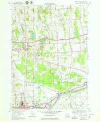
1953 Map of Geneva North
USGS Topo · Published 1979About this map
The industrial and agricultural landscape of the Finger Lakes region is defined here by the confluence of the Seneca and Cayuga Canal and the Seneca River. This 1950s era survey, updated with late-1970s transportation developments, captures the expansion of Geneva and Waterloo alongside long-established rural hamlets like Stone Church Corner and Packwood Corners. The northern portion of the map is dominated by the marshy wetlands and glacial features of Junius Ponds and Bullhead Pond, contrasted by the linear precision of the New York State Thruway cutting across the town of Junius. Local history is preserved through numerous family-named landmarks and burial grounds, such as Vandemark Cem and Newton Cem, which dot the drumlin-streaked terrain. The map records a period when rail lines like the Conrail network still serviced smaller stops such as West Junius (Junius Sta).
Find a feature on this map
51 named features on this map. Tap any name to fly to it.
Don’t see what you’re looking for? This feature index may not catch every label — zoom into the map to look around manually.
Map Details
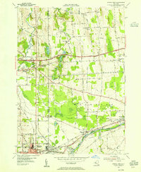
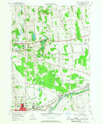
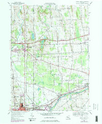
Editions of this 1953 Geneva North Map
4 editions found
Other maps of this area

1899 · Palmyra
USGS Topo · 1:62,500

1902 · Geneva
USGS Topo · 1:62,500

1902 · Clyde
USGS Topo · 1:62,500

1902 · Phelps
USGS Topo · 1:62,500

1902 · Palmyra
USGS Topo · 1:62,500

1942 · Stanley
USGS Topo · 1:31,680

1943 · Lyons
USGS Topo · 1:31,680

1943 · Geneva North
USGS Topo · 1:31,680

1943 · Geneva South
USGS Topo · 1:31,680

1943 · Phelps
USGS Topo · 1:31,680