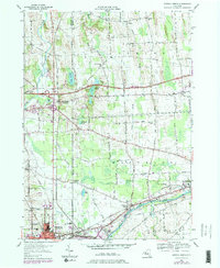
1953 Map of Geneva North
USGS Topo · Published 1984About this map
Canandaigua Outlet and the Seneca and Cayuga Canal define the industrial and transit corridor between Ontario and Seneca counties during the mid-20th century. The northern edge of Geneva and the neighboring community of Border City are mapped alongside a series of rural hamlets including West Junius, Dublin, and Packwood Corners. Local heritage is preserved in the locations of the Newton Cem, Hubbard Cem, and Vandemark Cem, providing essential details for genealogists studying the families of the Junius and Waterloo townships. The landscape is marked by the presence of Junius Ponds and the rising elevation of Whiskey Hill, while the evolving transportation network is evidenced by the Conrail lines and the New York State Thruway cutting across the north. These features illustrate a transition from a canal-and-rail economy to the modern highway era.
Find a feature on this map
56 named features on this map. Tap any name to fly to it.
Don’t see what you’re looking for? This feature index may not catch every label — zoom into the map to look around manually.
Map Details
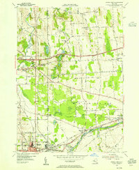
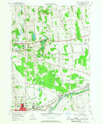
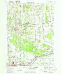
Editions of this 1953 Geneva North Map
4 editions found
Other maps of this area

1899 · Palmyra
USGS Topo · 1:62,500

1902 · Geneva
USGS Topo · 1:62,500

1902 · Clyde
USGS Topo · 1:62,500

1902 · Phelps
USGS Topo · 1:62,500

1902 · Palmyra
USGS Topo · 1:62,500

1942 · Stanley
USGS Topo · 1:31,680

1943 · Lyons
USGS Topo · 1:31,680

1943 · Geneva North
USGS Topo · 1:31,680

1943 · Geneva South
USGS Topo · 1:31,680

1943 · Phelps
USGS Topo · 1:31,680