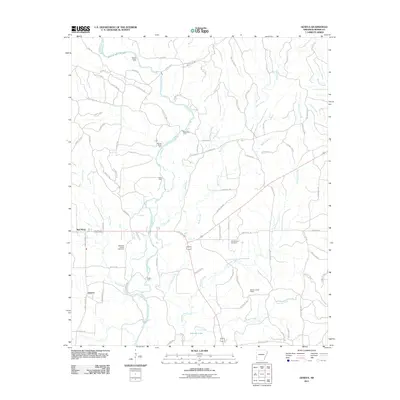
2011 Map of Geneva
USGS Topo · Published 2011About this map
The Cossatot River defines the central axis of this Sevier County landscape, characterized by numerous river crossings and small agricultural settlements. The rural community of Geneva sits in the southwest, connected by a network of county roads to Red Wing to the north. These settlements represent the enduring residential patterns of the Arkansas timber and farming country, where land use is dictated by the drainage of various creeks including Buck Creek, Burke Creek, and Sycamore Creek.
Find a feature on this map
81 named features on this map. Tap any name to fly to it.
Don’t see what you’re looking for? This feature index may not catch every label — zoom into the map to look around manually.
Map Details
Editions of this 2011 Geneva Map
This is the sole edition of this map. No revisions or reprints were ever made.
Other maps of this area

1913 · De Queen
USGS Topo · 1:125,000

1950 · Mcalester
USGS Topo · 1:250,000

1951 · Horatio
USGS Topo · 1:24,000

1951 · Lockesburg
USGS Topo · 1:24,000

1951 · Silver Ridge
USGS Topo · 1:24,000

1953 · Texarkana
USGS Topo · 1:250,000

1956 · Texarkana
USGS Topo · 1:250,000

1962 · McAlester
USGS Topo · 1:250,000

1964 · Gillham Dam
USGS Topo · 1:24,000

1964 · Gillham
USGS Topo · 1:24,000