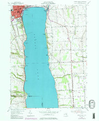
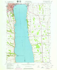
1953 Map of Geneva South
USGS Topo · Published 1979About this map
Seneca Lake dominates the center of this landscape, its deep waters flanked by the city of Geneva and the agricultural lands of Seneca and Ontario counties. In the post-war era, the eastern shore reflects a mix of institutional and rural uses, including the extensive grounds of the Seneca Army Depot and the historic Colleges of the Seneca. The map reveals a transition from the urban density of the city, marked by the Lighthouse and Pumping Sta, to the dispersed farmsteads of Fayette and Rose Hill.
Find a feature on this map
59 named features on this map. Tap any name to fly to it.
Don’t see what you’re looking for? This feature index may not catch every label — zoom into the map to look around manually.
Map Details
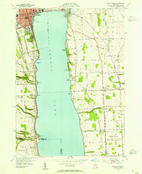
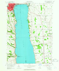
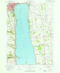
Editions of this 1953 Geneva South Map
5 editions found
Other maps of this area

1902 · Geneva
USGS Topo · 1:62,500

1902 · Phelps
USGS Topo · 1:62,500

1902 · Ovid
USGS Topo · 1:62,500

1903 · Penn Yan
USGS Topo · 1:62,500

1942 · Penn Yan
USGS Topo · 1:31,680

1942 · Ovid
USGS Topo · 1:31,680

1942 · Stanley
USGS Topo · 1:31,680

1943 · Dresden
USGS Topo · 1:31,680

1943 · Geneva North
USGS Topo · 1:31,680

1943 · Geneva South
USGS Topo · 1:31,680