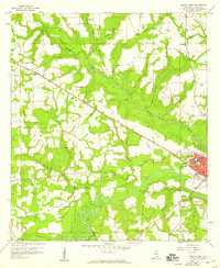
1957 Map of Geneva West
USGS Topo · Published 1959About this map
Geneva sits at the confluence of several significant waterways in the late 1950s, bounded by the Pea River and protected by a Levee system. This portion of Geneva County is defined by its agrarian and transit network, where the Louisville and Nashville railroad cuts diagonally across the landscape toward the rail stops at Marl and Lytle. The map reveals a deeply rooted community structure, evidenced by the numerous country churches such as Eden Ch, Friendship Ch, and New Prospect Ch that anchor the rural road intersections. Local industry and aviation are represented by the Powell Landing Field and several Borrow Pits. The intricate drainage pattern of Double Bridges Creek and its many branches illustrates the challenges of the low-lying terrain that required the significant levee infrastructure seen around the city center.
Find a feature on this map
49 named features on this map. Tap any name to fly to it.
Don’t see what you’re looking for? This feature index may not catch every label — zoom into the map to look around manually.
Map Details
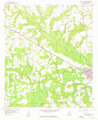
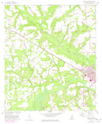
Editions of this 1957 Geneva West Map
3 editions found
Other maps of this area

1942 · Enterprise
USGS Topo · 1:125,000

1949 · Glendale
USGS Topo · 1:62,500

1949 · Hobbs Crossroads
USGS Topo · 1:24,000

1950 · Hobbs Cross Roads
USGS Topo · 1:24,000

1950 · Izagora
USGS Topo · 1:24,000

1951 · Glendale
USGS Topo · 1:62,500

1953 · Andalusia
USGS Topo · 1:250,000

1953 · Dothan
USGS Topo · 1:250,000

1954 · Dothan
USGS Topo · 1:250,000

1954 · Tallahassee
USGS Topo · 1:250,000