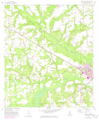
1957 Map of Geneva West
USGS Topo · Published 1982About this map
The Pea River and the Louisville and Nashville railroad define the geography of this Geneva County landscape as it appeared in the late 1950s, with later updates tracking the town's expansion. The settlement of Geneva is protected by a substantial Levee, with its grid including Trinity Ave and Ferris St clustered near the County Hospital. Outside the main town, the area is dotted with rural community centers like Vaughanville and Marl, often anchored by local congregations such as Laddon Ch and New Prospect Ch. Transportation infrastructure is prominent, from the Municipal Airport and a nearby Landing Field to the railroad siding at Lytle. The map also captures mid-century social fixtures like the Drive-in Theater near the eastern edge, while numerous small watercourses like Double Bridges Creek and Little Sandy Creek carve through the terrain.
Find a feature on this map
44 named features on this map. Tap any name to fly to it.
Don’t see what you’re looking for? This feature index may not catch every label — zoom into the map to look around manually.
Map Details
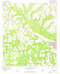
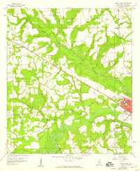
Editions of this 1957 Geneva West Map
3 editions found
Other maps of this area

1942 · Enterprise
USGS Topo · 1:125,000

1949 · Glendale
USGS Topo · 1:62,500

1949 · Hobbs Crossroads
USGS Topo · 1:24,000

1950 · Hobbs Cross Roads
USGS Topo · 1:24,000

1950 · Izagora
USGS Topo · 1:24,000

1951 · Glendale
USGS Topo · 1:62,500

1953 · Andalusia
USGS Topo · 1:250,000

1953 · Dothan
USGS Topo · 1:250,000

1954 · Dothan
USGS Topo · 1:250,000

1954 · Tallahassee
USGS Topo · 1:250,000