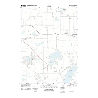
2010 Map of Genoa City
USGS Topo · Published 2010About this map
The glacial landscape of southern Wisconsin is defined by a dense concentration of kettle lakes and family-owned farmsteads in the first decade of the 21st century. Elizabeth Lake, Lake Mary, and Powers Lake anchor the region's recreational character, while the surrounding countryside preserves a distinct genealogical record through numerous churchyards and burial grounds. From Saint Killians Catholic Cemetery in the west to the Free Will Baptist Cemetery in the east, these sites mark the settlements of Slades Corners, North Bloomfield, and Pell Lake.
Find a feature on this map
89 named features on this map. Tap any name to fly to it.
Don’t see what you’re looking for? This feature index may not catch every label — zoom into the map to look around manually.
Map Details
Editions of this 2010 Genoa City Map
This is the sole edition of this map. No revisions or reprints were ever made.
Other maps of this area

1893 · Silver Lake
USGS Topo · 1:62,500

1893 · Geneva
USGS Topo · 1:62,500

1904 · Lake Geneva
USGS Topo · 1:62,500

1906 · Silver Lake
USGS Topo · 1:62,500

1906 · Lake Geneva
USGS Topo · 1:62,500

1920 · Grays Lake
USGS Topo · 1:62,500

1923 · Grays Lake
USGS Topo · 1:62,500

1926 · Mc Henry
USGS Topo · 1:62,500

1944 · McHenry
USGS Topo · 1:62,500

1954 · Rockford
USGS Topo · 1:250,000