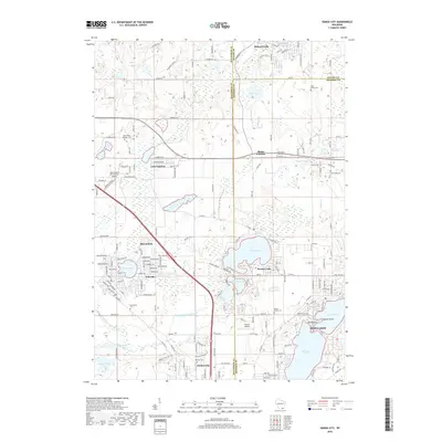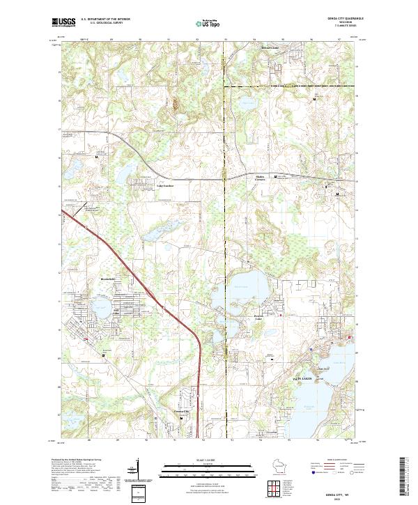
2022 Map of Genoa City
USGS Topo · Published 2022About this map
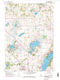
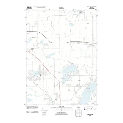
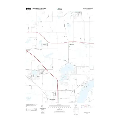
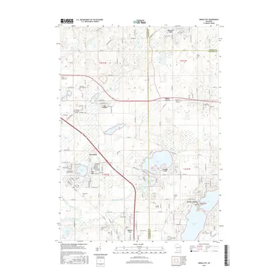
Genoa City and the surrounding glacial lake country define this borderland region between Walworth and Kenosha counties. The landscape is characterized by dense residential clusters around major water bodies, including Powers Lake, Benedict Lake, and Elizabeth Lake. Further west, the planned community of Pell Lake sits adjacent to the terminal moraine topography that shapes the local hydrology. This 2022 survey shows a high density of rural cemeteries, such as Saint Johns Lutheran Cem and Mound Prairie Cem, which remain as legacy markers of earlier pioneer settlement patterns across the Wisconsin countryside.
Find a feature on this map
174 named features on this map. Tap any name to fly to it.
Don’t see what you’re looking for? This feature index may not catch every label — zoom into the map to look around manually.
Map Details
Editions of this 2022 Genoa City Map
This is the sole edition of this map. No revisions or reprints were ever made.
Historical Maps of Twin Lakes Through Time
6 maps found