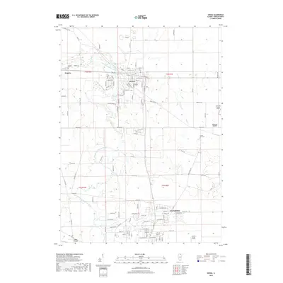
2018 Map of Genoa
USGS Topo · Published 2018About this map
The South Branch Kishwaukee River meanders through this portion of DeKalb County, anchoring a landscape where agricultural heritage meets suburban expansion. The city of Genoa sits prominently at the intersection of W Main St and N State Rd, serving as a central hub for the surrounding townships. Further south, the northern reaches of Sycamore are visible, showing a high concentration of residential street networks such as Forest View Dr and Roberts Rd.
Find a feature on this map
112 named features on this map. Tap any name to fly to it.
Don’t see what you’re looking for? This feature index may not catch every label — zoom into the map to look around manually.
Map Details
Editions of this 2018 Genoa Map
This is the sole edition of this map. No revisions or reprints were ever made.
Other maps of this area
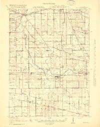
1918 · Kirkland
USGS Topo · 1:62,500
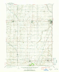
1934 · De Kalb
USGS Topo · 1:62,500
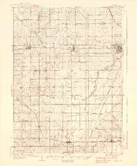
1937 · De Kalb
USGS Topo · 1:62,500
1937 · Sycamore
USGS Topo · 1:62,500
1938 · Genoa
USGS Topo · 1:62,500
1954 · Rockford
USGS Topo · 1:250,000
1955 · Rockford
USGS Topo · 1:250,000
1958 · Aurora
USGS Topo · 1:250,000
1958 · Rockford
USGS Topo · 1:250,000
1961 · Aurora
USGS Topo · 1:250,000