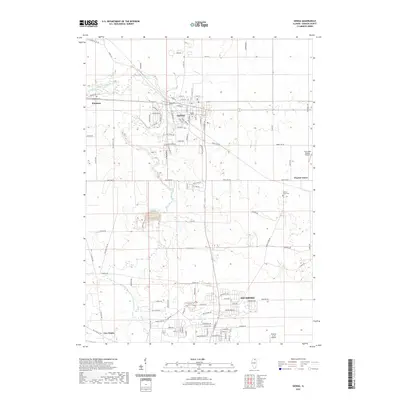
2021 Map of Genoa
USGS Topo · Published 2021About this map
Genoa and the northern extent of Sycamore anchor this DeKalb County landscape, defined by the winding course of the South Branch Kishwaukee River. The regional character is a mix of established residential grids and expansive rural tracts, with smaller hubs like Kingston and Charter Grove connected by a network of historic routes including Base Line Rd and Sycamore Rd. Genealogists will find significant value in the documentation of the Genoa Cem, Charter Grove Cem, and Kingston Cem, which serve as permanent markers of the area's heritage. The presence of aviation facilities like Aero Lake Estates Airport and Colonial Acres Airport alongside traditional landmarks like Five Points reflects a landscape evolving with modern infrastructure while maintaining its agricultural foundations and river-valley orientation.
Find a feature on this map
85 named features on this map. Tap any name to fly to it.
Don’t see what you’re looking for? This feature index may not catch every label — zoom into the map to look around manually.
Map Details
Editions of this 2021 Genoa Map
This is the sole edition of this map. No revisions or reprints were ever made.
Other maps of this area

1918 · Kirkland
USGS Topo · 1:62,500

1934 · De Kalb
USGS Topo · 1:62,500

1937 · De Kalb
USGS Topo · 1:62,500

1937 · Sycamore
USGS Topo · 1:62,500

1938 · Genoa
USGS Topo · 1:62,500

1954 · Rockford
USGS Topo · 1:250,000

1955 · Rockford
USGS Topo · 1:250,000

1958 · Aurora
USGS Topo · 1:250,000

1958 · Rockford
USGS Topo · 1:250,000

1961 · Aurora
USGS Topo · 1:250,000