Loading...
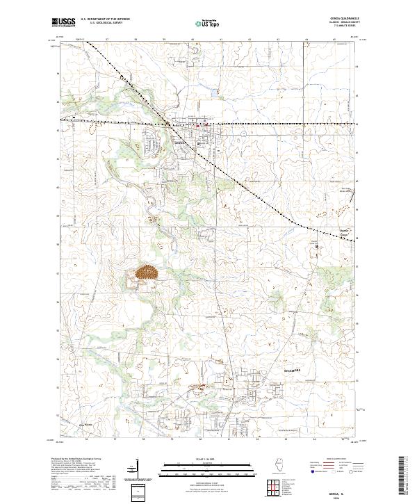
Loading map...2024 Map of Genoa
USGS Topo · Published 2024About this map
The South Branch Kishwaukee River winds through northern Illinois, anchoring the landscape of DeKalb County in this recent survey. The city of Genoa occupies a central position, defined by a dense grid of residential and commercial streets including W Main St, E Railroad Ave, and Jackson St. To the south, the northern edge of Sycamore appears along the East Branch South Branch Kishwaukee River, reflecting the continued growth of these established prairie communities.
Find a feature on this map
76 named features on this map. Tap any name to fly to it.
Don’t see what you’re looking for? This feature index may not catch every label — zoom into the map to look around manually.
Map Details
Date Portrayed2024
Date Published2024
PublisherU.S. Geological Survey
Map TypeTopographic
Scale1:24000
Physical Dimensions24 x 29 inches
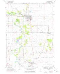
Editions of this 2024 Genoa Map
This is the sole edition of this map. No revisions or reprints were ever made.
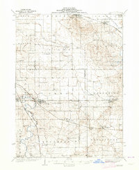
Historical Maps of Kingston Through Time
Featured Locations
Source Details
SourceU.S. Geological Survey
CopyrightPublic Domain