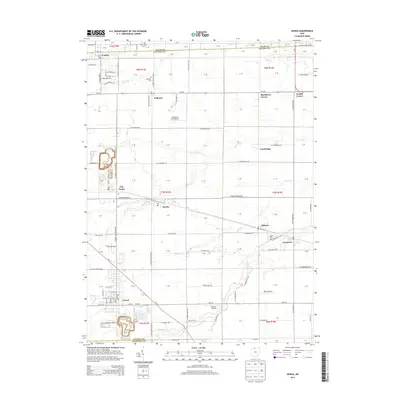
2013 Map of Genoa
USGS Topo · Published 2013About this map
The village of Genoa serves as the focal point for this Northwest Ohio landscape, situated at the boundary of Ottawa and Sandusky counties. The surrounding geography is defined by a dense network of drainage, where Packer Creek and several branches of Turtle Creek wind through flat farmland. Long-established rural communities including Clay Center, Martin, and Graytown are interspersed with smaller crossroads such as Blackberry Corner and Grodis Corner.
Find a feature on this map
58 named features on this map. Tap any name to fly to it.
Don’t see what you’re looking for? This feature index may not catch every label — zoom into the map to look around manually.
Map Details
Editions of this 2013 Genoa Map
This is the sole edition of this map. No revisions or reprints were ever made.
Other maps of this area

1900 · Maumee Bay
USGS Topo · 1:62,500

1900 · Oak Harbor
USGS Topo · 1:62,500

1901 · Fremont
USGS Topo · 1:62,500

1901 · Elmore
USGS Topo · 1:62,500

1903 · Fremont
USGS Topo · 1:62,500

1903 · Elmore
USGS Topo · 1:62,500

1934 · Reno Beach
USGS Topo · 1:24,000

1934 · Point Place
USGS Topo · 1:24,000

1935 · Walbridge
USGS Topo · 1:24,000

1935 · Genoa
USGS Topo · 1:24,000