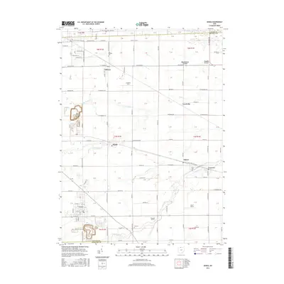
2016 Map of Genoa
USGS Topo · Published 2016About this map
Genoa and the surrounding townships in Ottawa County are defined by a grid of rural roads and the meandering paths of several significant creeks. The landscape is deeply agricultural, yet punctuated by clusters of industry and aviation, notably at Toussaint Airpark and Bea-D Airport. Small hamlets like Clay Center, Martin, and Elliston serve as local hubs, while numerous burial grounds such as Allen Township Cemetery and Clay Cemetery offer direct links to the area's genealogical history. The drainage network, including the Toussaint Creek, Packer Creek, and several branches of Turtle Creek, dictates the placement of early settlements and road crossings throughout the quadrangle. This 2016 data reflects the enduring character of a region where tradition and modern utility coexist along the county borders.
Find a feature on this map
65 named features on this map. Tap any name to fly to it.
Don’t see what you’re looking for? This feature index may not catch every label — zoom into the map to look around manually.
Map Details
Editions of this 2016 Genoa Map
This is the sole edition of this map. No revisions or reprints were ever made.
Other maps of this area
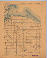
1900 · Maumee Bay
USGS Topo · 1:62,500
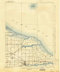
1900 · Oak Harbor
USGS Topo · 1:62,500
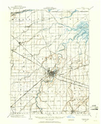
1901 · Fremont
USGS Topo · 1:62,500
1901 · Elmore
USGS Topo · 1:62,500
1903 · Fremont
USGS Topo · 1:62,500
1903 · Elmore
USGS Topo · 1:62,500
1934 · Reno Beach
USGS Topo · 1:24,000
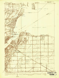
1934 · Point Place
USGS Topo · 1:24,000
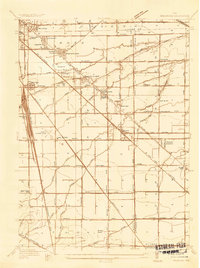
1935 · Walbridge
USGS Topo · 1:24,000
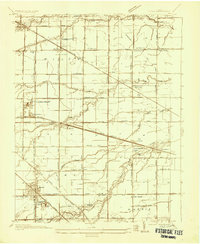
1935 · Genoa
USGS Topo · 1:24,000