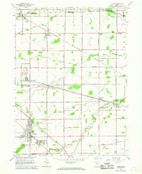
1966 Map of Genoa
USGS Topo · Published 1968About this map
The village of Genoa and its surrounding industrial and agricultural landscape are detailed in this mid-1960s revision. This area at the intersection of Ottawa, Sandusky, and Lucas counties is defined by heavy extraction and transport, evidenced by extensive Quarry operations and Mine Dumps near Clay Center. The transportation network is dominated by the Penn Central and Norfolk and Western railroads, which facilitated the movement of materials through small rail-side settlements like Martin and Elliston.
Find a feature on this map
56 named features on this map. Tap any name to fly to it.
Don’t see what you’re looking for? This feature index may not catch every label — zoom into the map to look around manually.
Map Details
Editions of this 1966 Genoa Map
2 editions found
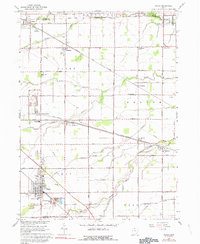
Other maps of this area

1900 · Maumee Bay
USGS Topo · 1:62,500

1900 · Oak Harbor
USGS Topo · 1:62,500

1901 · Fremont
USGS Topo · 1:62,500

1901 · Elmore
USGS Topo · 1:62,500

1903 · Fremont
USGS Topo · 1:62,500

1903 · Elmore
USGS Topo · 1:62,500

1934 · Reno Beach
USGS Topo · 1:24,000

1934 · Point Place
USGS Topo · 1:24,000

1935 · Walbridge
USGS Topo · 1:24,000

1935 · Genoa
USGS Topo · 1:24,000