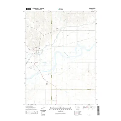
2014 Map of Genoa
USGS Topo · Published 2014About this map
Genoa serves as the focal point of this Platte Valley landscape, positioned where the Loup River Canal and Beaver Creek converge. The town's layout is clearly defined by a grid of streets including Webster Ave, Ewing Ave, and Benson Ave, while the surrounding rural geography is marked by the expansive floodplains of the Loup River.
Find a feature on this map
38 named features on this map. Tap any name to fly to it.
Don’t see what you’re looking for? This feature index may not catch every label — zoom into the map to look around manually.
Map Details
Editions of this 2014 Genoa Map
This is the sole edition of this map. No revisions or reprints were ever made.
Other maps of this area
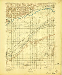
1896 · Stromsburg
USGS Topo · 1:125,000
1955 · Fremont
USGS Topo · 1:250,000
1957 · Fremont
USGS Topo · 1:250,000
1958 · Fremont
USGS Topo · 1:250,000
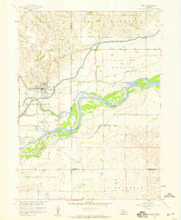
1958 · Genoa
USGS Topo · 1:24,000
1958 · Monroe
USGS Topo · 1:24,000
1958 · Silver Creek SE
USGS Topo · 1:24,000
1958 · Fullerton NE
USGS Topo · 1:24,000
1958 · Silver Creek
USGS Topo · 1:24,000
1958 · Havens
USGS Topo · 1:24,000