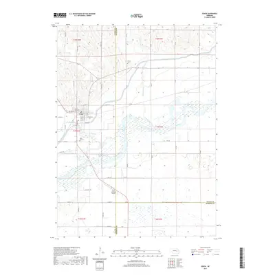
2017 Map of Genoa
USGS Topo · Published 2017About this map
Genoa occupies a central position on the northern banks of the Loup River, where the landscape is defined by the engineered path of the Loup River Canal. This 2017 survey shows the town's grid extending toward the Genoa Municipal Airport to the south and the winding course of Beaver Creek to the west. The area’s agrarian character and long-standing community foundations are evident through several local landmarks, including the Friends Cem located northeast of town and the Valley View Cem situated just south of the municipal core. Water management and drainage are prominent themes across this section of Nebraska, as the Looking Glass Creek meanders through the eastern portions of the map before joining the larger river system. The convergence of these waterways against a backdrop of section-line roads like 445 Ave and Hilltop DR illustrates the organized development of Nance County's river valley.
Find a feature on this map
46 named features on this map. Tap any name to fly to it.
Don’t see what you’re looking for? This feature index may not catch every label — zoom into the map to look around manually.
Map Details
Editions of this 2017 Genoa Map
This is the sole edition of this map. No revisions or reprints were ever made.
Other maps of this area
1896 · Stromsburg
USGS Topo · 1:125,000
1955 · Fremont
USGS Topo · 1:250,000
1957 · Fremont
USGS Topo · 1:250,000
1958 · Fremont
USGS Topo · 1:250,000
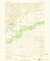
1958 · Genoa
USGS Topo · 1:24,000
1958 · Monroe
USGS Topo · 1:24,000
1958 · Silver Creek SE
USGS Topo · 1:24,000
1958 · Fullerton NE
USGS Topo · 1:24,000
1958 · Silver Creek
USGS Topo · 1:24,000
1958 · Havens
USGS Topo · 1:24,000