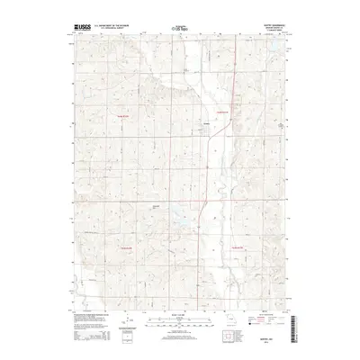
2014 Map of Gentry
USGS Topo · Published 2014About this map
Gentry anchors this Missouri landscape where the Middle Fork Grand River and Peddler Creek converge. The topography is defined by the dissection of the local plateaus, featuring prominent landmarks like Redmond Hill and numerous watercourses including Bear Cr and the Grand River. A network of local roads and trails, such as Canadian Ridge Trl and Saddle Soap Hill Trl, provides access to the rural townships. For genealogists, the inclusion of Snider Cemetery and New Friendship Cemetery offers specific points of interest for family history research. The layout reflects a deeply established agricultural pattern, with section lines and township boundaries like t64n r32w and t63n r31w dictating the organization of the countryside.
Find a feature on this map
32 named features on this map. Tap any name to fly to it.
Don’t see what you’re looking for? This feature index may not catch every label — zoom into the map to look around manually.
Map Details
Editions of this 2014 Gentry Map
This is the sole edition of this map. No revisions or reprints were ever made.
Other maps of this area
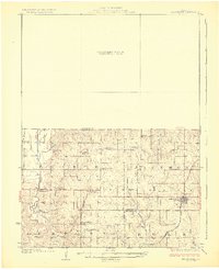
1925 · Stanberry
USGS Topo · 1:62,500
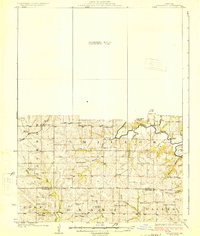
1925 · Darlington
USGS Topo · 1:62,500
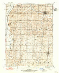
1939 · Stanberry
USGS Topo · 1:62,500
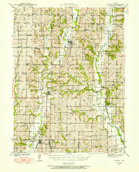
1940 · Parnell
USGS Topo · 1:62,500
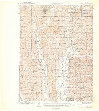
1942 · Grant City
USGS Topo · 1:62,500
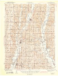
1943 · Parnell
USGS Topo · 1:62,500
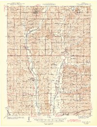
1943 · Grant City
USGS Topo · 1:62,500
1943 · Stanberry
USGS Topo · 1:62,500
1950 · Darlington
USGS Topo · 1:62,500
1955 · Nebraska City
USGS Topo · 1:250,000