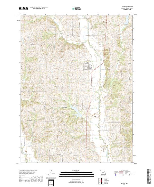
2021 Map of Gentry
USGS Topo · Published 2021About this map
The settlement of Gentry serves as the central hub of this Missouri landscape, situated near the winding course of the Middle Fork Grand River. The village layout is clearly defined by local thoroughfares including Main St and Maple ST, surrounded by a network of rural routes and historic trails. To the north, the Degginger Trl traverses the hills near Bear Creek, while the Hugginsville Trl cuts across the southern reach of the quadrangle.
Find a feature on this map
55 named features on this map. Tap any name to fly to it.
Don’t see what you’re looking for? This feature index may not catch every label — zoom into the map to look around manually.
Map Details
Editions of this 2021 Gentry Map
This is the sole edition of this map. No revisions or reprints were ever made.
Other maps of this area

1925 · Stanberry
USGS Topo · 1:62,500

1925 · Darlington
USGS Topo · 1:62,500

1939 · Stanberry
USGS Topo · 1:62,500

1940 · Parnell
USGS Topo · 1:62,500

1942 · Grant City
USGS Topo · 1:62,500

1943 · Parnell
USGS Topo · 1:62,500

1943 · Grant City
USGS Topo · 1:62,500

1943 · Stanberry
USGS Topo · 1:62,500

1950 · Darlington
USGS Topo · 1:62,500

1955 · Nebraska City
USGS Topo · 1:250,000