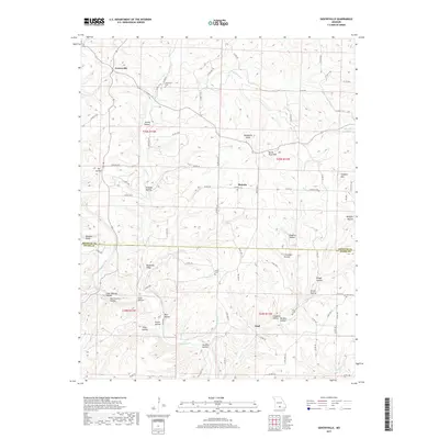
2017 Map of Gentryville
USGS Topo · Published 2017About this map
Bryant Creek flows through this Ozark landscape, carving a complex network of hollows across the border of Douglas and Ozark Counties. The settlement of Gentryville serves as a primary reference point in the north, while the smaller communities of Blanche and Trail anchor the central and southern reaches. The map reveals a deeply dissected terrain characterized by family-named landmarks and historical burial sites, including Henderson Cem and Hale Cem.
Find a feature on this map
87 named features on this map. Tap any name to fly to it.
Don’t see what you’re looking for? This feature index may not catch every label — zoom into the map to look around manually.
Map Details
Editions of this 2017 Gentryville Map
This is the sole edition of this map. No revisions or reprints were ever made.
Other maps of this area
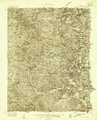
1934 · Gainesville
USGS Topo · 1:48,000
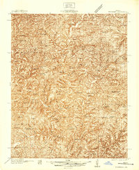
1937 · Buckhart
USGS Topo · 1:48,000
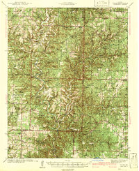
1939 · Topaz
USGS Topo · 1:62,500
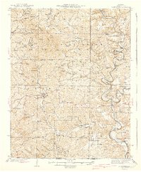
1940 · Gainesville
USGS Topo · 1:62,500
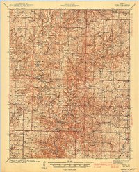
1941 · Topaz
USGS Topo · 1:62,500
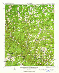
1943 · Buckhart
USGS Topo · 1:62,500
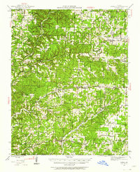
1944 · Cureall
USGS Topo · 1:62,500

1945 · Harrison
USGS Topo · 1:250,000
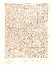
1945 · Buckhart
USGS Topo · 1:62,500
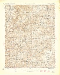
1946 · Cureall
USGS Topo · 1:62,500