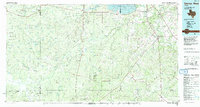
1968 Map of George West
USGS Topo · Published 1986About this map
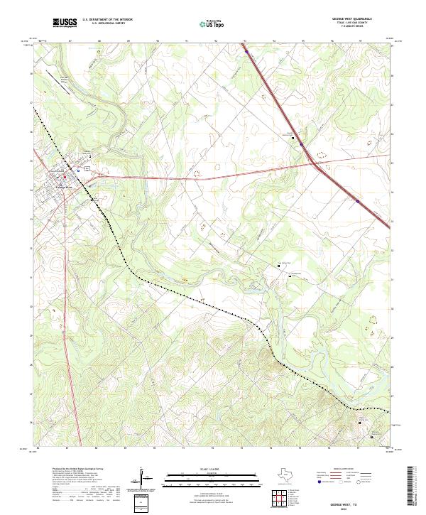
George West serves as the hub of this Live Oak County landscape, situated where the Missouri Pacific railroad corridor meets the winding path of the Nueces River. The map illustrates a transition from the structured street grid of the town to the meandering river bottomlands and southern hills. To the east, the historic legacy of the area is anchored by the Old Gussettville Cem and Gussettville Cem, while further south near the river's bend, the Fort Merrill (Site) marks a strategic location from Texas's frontier era. The terrain is deeply etched by drainage features like Ramie Hollow, Little Gamble Gully, and Spring Creek. Settlement patterns reflect both historical roots in places like Mikeska and modern residential growth at River Creek Acres, alongside an active Oil Field and numerous Gravel Pits that suggest the region's mid-century economic drivers.
Find a feature on this map
32 named features on this map. Tap any name to fly to it.
Don’t see what you’re looking for? This feature index may not catch every label — zoom into the map to look around manually.
Map Details
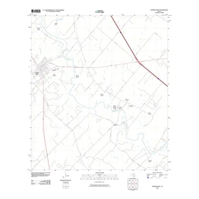
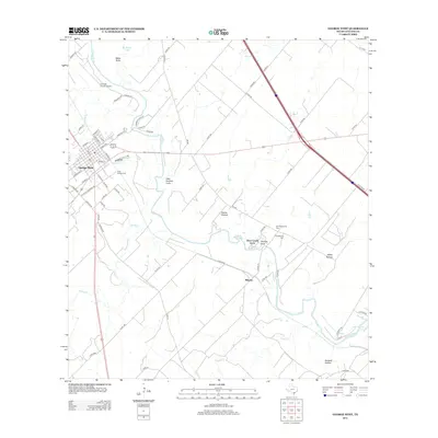
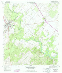
Editions of this 1968 George West Map
2 editions found
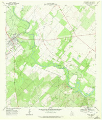
Historical Maps of George West Through Time
7 maps found