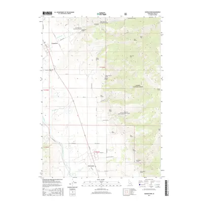
2017 Map of Georgetown
USGS Topo · Published 2017About this map
Georgetown sits at the foot of the Preuss Range within the Bear Lake Valley, serving as a gateway to the high elevations of the Caribou National Forest. This landscape is defined by the sharp transition from the irrigated valley floors near the Bear River to the complex drainage systems of the eastern mountains. A network of canyons, including Georgetown Canyon and Pine Canyon, dissects the terrain, leading toward prominent landmarks like Threemile Peak and Bald Mtn. To the south, the settlement of Bennington provides another anchor point for local history, located near the entrance to Bennington Canyon. The survey illustrates the persistence of rural infrastructure, with numerous named roads such as Stringtown Rd and Pescadero Rd following the natural contours of the benches and creek bottoms. These thoroughfares connect the clustered residences of the valley to the resource-rich highlands of Honeycomb and Jack Hollow.
Find a feature on this map
51 named features on this map. Tap any name to fly to it.
Don’t see what you’re looking for? This feature index may not catch every label — zoom into the map to look around manually.
Map Details
Editions of this 2017 Georgetown Map
This is the sole edition of this map. No revisions or reprints were ever made.
Other maps of this area
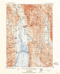
1909 · Montpelier
USGS Topo · 1:125,000
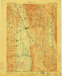
1911 · Montpelier
USGS Topo · 1:125,000
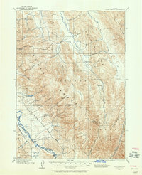
1911 · Slug Creek
USGS Topo · 1:62,500
1915 · Crow Creek
USGS Topo · 1:62,500
1949 · Snowdrift Mountain
USGS Topo · 1:24,000
1951 · Snowdrift Mountain
USGS Topo · 1:24,000
1955 · Preston
USGS Topo · 1:250,000
1958 · Preston
USGS Topo · 1:250,000
1962 · Preston
USGS Topo · 1:250,000
1967 · Montpelier
USGS Topo · 1:24,000