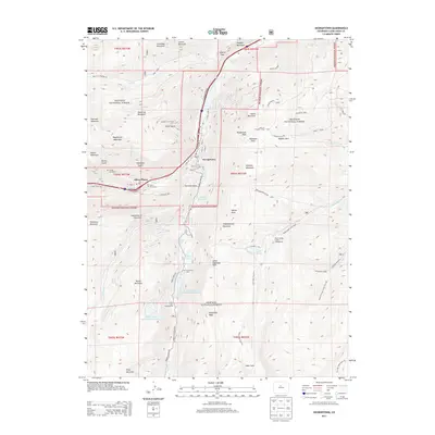
2013 Map of Georgetown
USGS Topo · Published 2013About this map
Georgetown and Silver Plume sit along the valley of Clear Creek, serving as focal points for this high-elevation Colorado survey. The landscape is defined by its industrial history and modern infrastructure, notably the Upper Cabin Creek Hydroelectric Reservoir and Lower Cabin Creek Hydroelectric Reservoir situated south of the town centers. For researchers of local history, the map details the proximity of the Silver Plume Cemetery and the Griffin Monument to the residential areas. Transportation through this steep terrain is recorded along the Guanella Pass Road and the Old Georgetown Road, while the surrounding Arapaho National Forest is filled with prominent peaks such as Democrat Mountain and Saxon Mountain. The map also captures the remote Hefferman Cabins and several alpine water bodies including Green Lake and Lake Edith.
Find a feature on this map
78 named features on this map. Tap any name to fly to it.
Don’t see what you’re looking for? This feature index may not catch every label — zoom into the map to look around manually.
Map Details
Editions of this 2013 Georgetown Map
This is the sole edition of this map. No revisions or reprints were ever made.
Other maps of this area

1903 · Georgetown
USGS Topo · 1:62,500

1905 · Central City
USGS Topo · 1:62,500

1905 · Georgetown
USGS Topo · 1:62,500

1910 · Central City
USGS Topo · 1:62,500

1912 · Central City
USGS Topo · 1:62,500

1924 · Montezuma
USGS Topo · 1:62,500

1924 · Fraser
USGS Topo · 1:62,500

1926 · Fraser
USGS Topo · 1:62,500

1926 · Montezuma
USGS Topo · 1:62,500

1933 · Montezuma
USGS Topo · 1:62,500