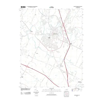
2010 Map of Georgetown
USGS Topo · Published 2010About this map
Georgetown serves as the focal point of this Bluegrass region landscape, situated where the waters of North Elkhorn Creek and McCracken Creek converge. The area reflects a transition from established urban centers to the research-driven agriculture found at the University of Kentucky Agricultural Experimental Station to the south. Historically significant nodes like Paynes Depot and Great Crossing anchor the western reaches, illustrating the importance of early settlement patterns and transportation routes through Scott and Fayette Counties.
Find a feature on this map
49 named features on this map. Tap any name to fly to it.
Don’t see what you’re looking for? This feature index may not catch every label — zoom into the map to look around manually.
Map Details
Editions of this 2010 Georgetown Map
This is the sole edition of this map. No revisions or reprints were ever made.
Other maps of this area

1906 · Georgetown
USGS Topo · 1:62,500

1908 · Georgetown
USGS Topo · 1:62,500

1927 · Lexington
USGS Topo · 1:48,000

1929 · Cynthiana
USGS Topo · 1:48,000

1929 · Lexington
USGS Topo · 1:62,500

1934 · Cynthiana
USGS Topo · 1:62,500

1939 · Sadieville
USGS Topo · 1:62,500

1950 · Lexington East
USGS Topo · 1:24,000

1950 · Lexington West
USGS Topo · 1:24,000

1952 · Midway
USGS Topo · 1:24,000