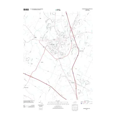
2013 Map of Georgetown
USGS Topo · Published 2013About this map
Royal Springs serves as a historic focal point within this central Kentucky landscape, situated near the heart of a rapidly growing suburban corridor. The area is defined by its transition from traditional settlements like Great Crossing and Paynes Depot to modern residential developments. The terrain is intricately carved by watercourses, most notably the winding N Elkhorn Cr and Cane Run, which historically influenced the placement of early crossings and mills.
Find a feature on this map
167 named features on this map. Tap any name to fly to it.
Don’t see what you’re looking for? This feature index may not catch every label — zoom into the map to look around manually.
Map Details
Editions of this 2013 Georgetown Map
This is the sole edition of this map. No revisions or reprints were ever made.
Other maps of this area

1906 · Georgetown
USGS Topo · 1:62,500

1908 · Georgetown
USGS Topo · 1:62,500

1927 · Lexington
USGS Topo · 1:48,000

1929 · Cynthiana
USGS Topo · 1:48,000

1929 · Lexington
USGS Topo · 1:62,500

1934 · Cynthiana
USGS Topo · 1:62,500

1939 · Sadieville
USGS Topo · 1:62,500

1950 · Lexington East
USGS Topo · 1:24,000

1950 · Lexington West
USGS Topo · 1:24,000

1952 · Midway
USGS Topo · 1:24,000