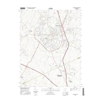
2016 Map of Georgetown
USGS Topo · Published 2016About this map
Georgetown serves as the focal point of this Bluegrass region study, where the academic grounds of Georgetown College and the historical downtown core meet the winding path of North Elkhorn Creek. The landscape reflects a transition from the dense street grids of the city to the expansive horse country and residential developments of Lexington-Fayette to the south. Distinctive water features like Royal Springs and Cane Run punctuate the limestone-rich terrain, which has long influenced the settlement patterns of this central Kentucky area.
Find a feature on this map
162 named features on this map. Tap any name to fly to it.
Don’t see what you’re looking for? This feature index may not catch every label — zoom into the map to look around manually.
Map Details
Editions of this 2016 Georgetown Map
This is the sole edition of this map. No revisions or reprints were ever made.
Other maps of this area

1906 · Georgetown
USGS Topo · 1:62,500

1908 · Georgetown
USGS Topo · 1:62,500

1927 · Lexington
USGS Topo · 1:48,000

1929 · Cynthiana
USGS Topo · 1:48,000

1929 · Lexington
USGS Topo · 1:62,500

1934 · Cynthiana
USGS Topo · 1:62,500

1939 · Sadieville
USGS Topo · 1:62,500

1950 · Lexington East
USGS Topo · 1:24,000

1950 · Lexington West
USGS Topo · 1:24,000

1952 · Midway
USGS Topo · 1:24,000