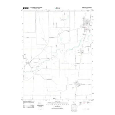
2012 Map of Georgetown
USGS Topo · Published 2012About this map
The Little Vermilion River snakes across this portion of Vermilion County, defining the rural landscape between the agricultural hubs of Indianola and Georgetown. The terrain is marked by a high density of family and community burial grounds, including Sandusky Cem, Weaver Cem, and Michael Cem, which serve as vital markers for genealogical research in this part of Illinois. The town of Georgetown is shown with its full street grid, anchored by the Georgetown Reservoir to the south. Further south, the settlements of Olivet, Vermilion Grove, and Ridge Farm follow a north-south transit corridor. Small drainage systems like Fayette Drain and Fairview Drain cut through the fields, illustrating the intricate water management required for the region's productive farmland. The map captures these established communities and their surrounding rural infrastructure, from the Crown Hill Cem near Ridge Farm to the outlying area of Mabel near the southern border.
Find a feature on this map
74 named features on this map. Tap any name to fly to it.
Don’t see what you’re looking for? This feature index may not catch every label — zoom into the map to look around manually.
Map Details
Editions of this 2012 Georgetown Map
This is the sole edition of this map. No revisions or reprints were ever made.
Other maps of this area

1899 · Danville
USGS Topo · 1:62,500

1900 · Danville
USGS Topo · 1:62,500

1931 · Fithian
USGS Topo · 1:48,000

1943 · Fithian
USGS Topo · 1:62,500

1947 · Ridge Farm
USGS Topo · 1:62,500

1949 · Danville SW
USGS Topo · 1:24,000

1950 · Danville SW
USGS Topo · 1:24,000

1950 · Danville SE
USGS Topo · 1:24,000

1951 · Danville SE
USGS Topo · 1:24,000

1953 · Danville
USGS Topo · 1:250,000