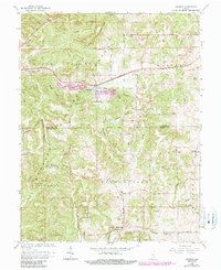
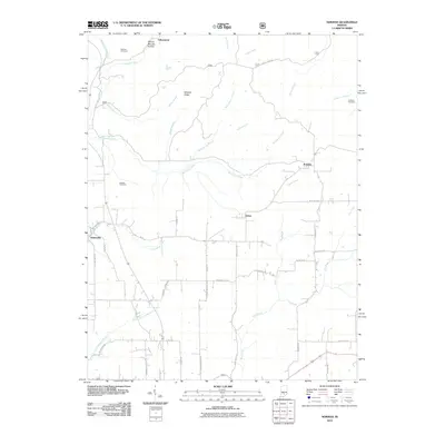
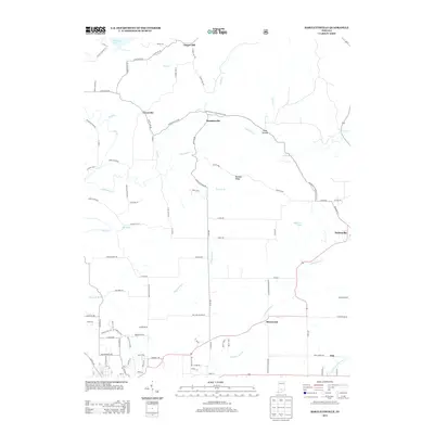
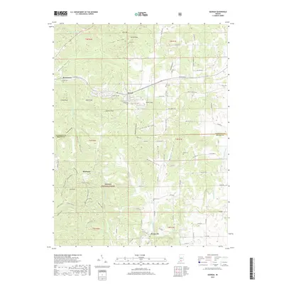
1965 Map of Georgia
USGS Topo · Published 1990About this map
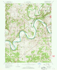
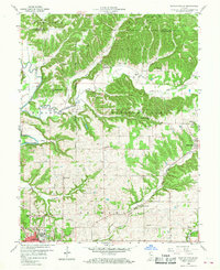
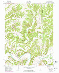
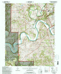
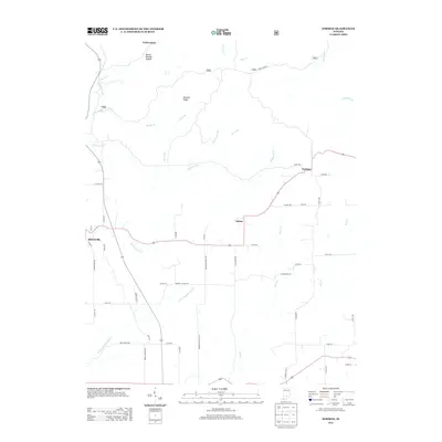
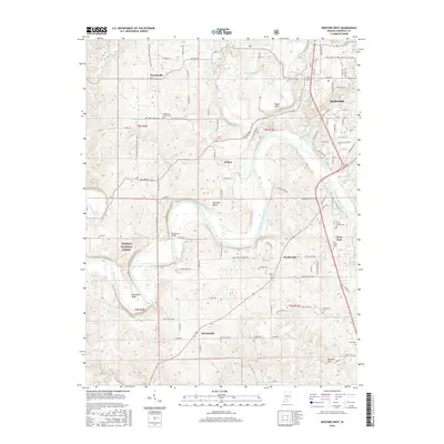
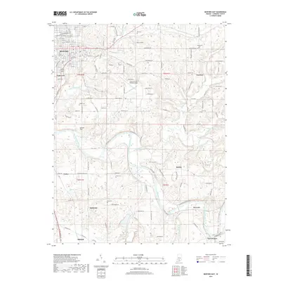
The Baltimore and Ohio RR cuts a direct path through the heart of this landscape, connecting the small settlements of Mooretown and Georgia within the Spice Valley and Marion townships. This 1965 survey, updated through the late 1980s, reveals a deeply dissected terrain characterized by numerous named ridges and hollows, such as Burton Ridge and Tincher Hollow, that defined the early settlement patterns of the Hoosier National Forest region.
Find a feature on this map
48 named features on this map. Tap any name to fly to it.
Don’t see what you’re looking for? This feature index may not catch every label — zoom into the map to look around manually.
Map Details
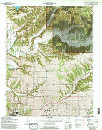
Editions of this 1965 Georgia Map
2 editions found
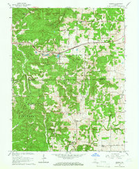
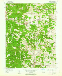
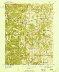
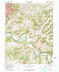
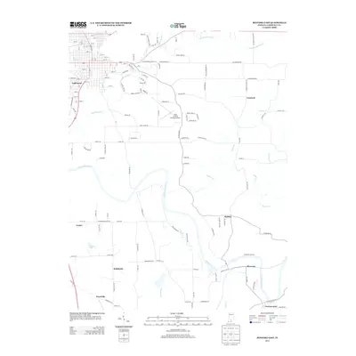
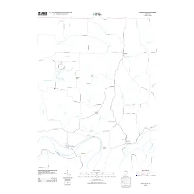
Historical Maps of Orangeville Through Time
43 maps found
1949 Georgia
Lawrence County, IN
1951 Georgia
Lawrence County, IN
1957 Bedford West
Lawrence County, IN
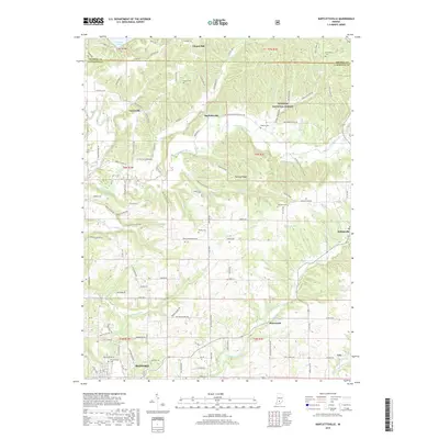
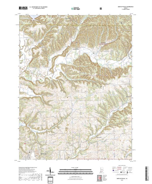
1958 Bartlettsville
Lawrence County, IN
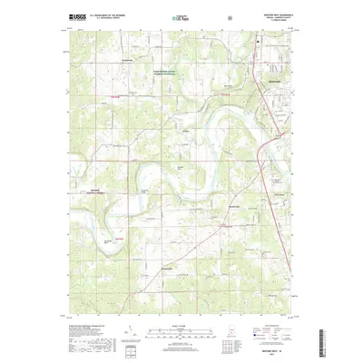
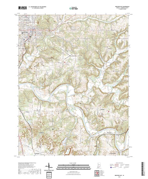
1958 Bedford East
Lawrence County, IN
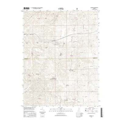
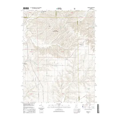
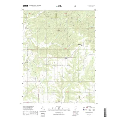
1958 Norman
Lawrence County, IN
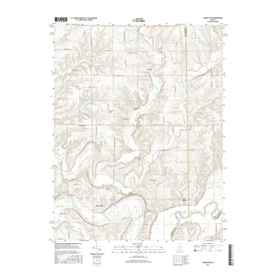
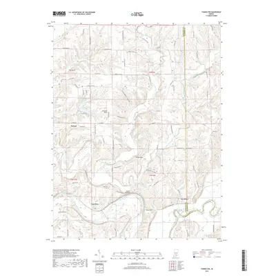
1958 Tunnelton
Lawrence County, IN
1965 Georgia
Lawrence County, IN
1978 Bartlettsville
Lawrence County, IN
1978 Bedford East
Lawrence County, IN
1979 Bedford West
Lawrence County, IN
1993 Bedford West
Lawrence County, IN
1993 Georgia
Lawrence County, IN
2010 Bartlettsville
Lawrence County, IN
2010 Bedford East
Lawrence County, IN
2010 Norman
Lawrence County, IN
2010 Tunnelton
Lawrence County, IN
2011 Bedford West
Lawrence County, IN
2011 Georgia
Lawrence County, IN
2013 Bartlettsville
Lawrence County, IN
2013 Bedford East
Lawrence County, IN
2013 Bedford West
Lawrence County, IN
2013 Georgia
Lawrence County, IN
2013 Norman
Lawrence County, IN
2013 Tunnelton
Lawrence County, IN
2016 Bartlettsville
Lawrence County, IN
2016 Bedford East
Lawrence County, IN
2016 Bedford West
Lawrence County, IN
2016 Georgia
Lawrence County, IN
2016 Norman
Lawrence County, IN
2016 Tunnelton
Lawrence County, IN
2019 Bartlettsville
Lawrence County, IN
2019 Bedford East
Lawrence County, IN
2019 Bedford West
Lawrence County, IN
2019 Georgia
Lawrence County, IN
2019 Norman
Lawrence County, IN
2019 Tunnelton
Lawrence County, IN
2022 Bartlettsville
Lawrence County, IN
2022 Bedford East
Lawrence County, IN
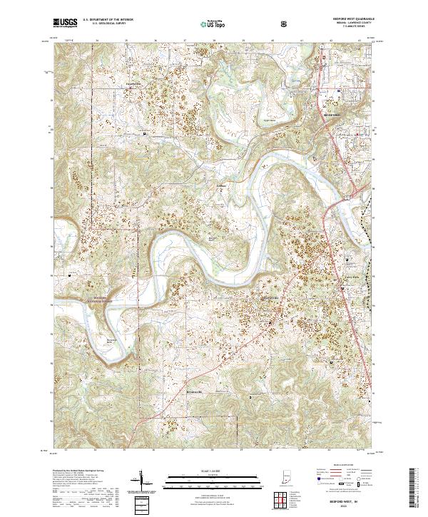
2022 Bedford West
Lawrence County, IN
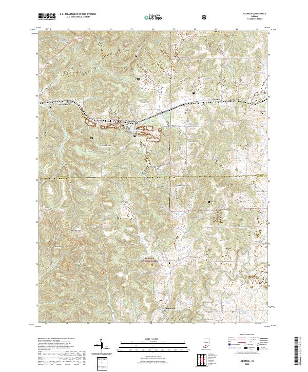
2022 Georgia
Lawrence County, IN
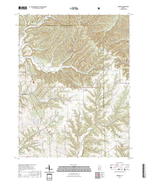
2022 Norman
Lawrence County, IN
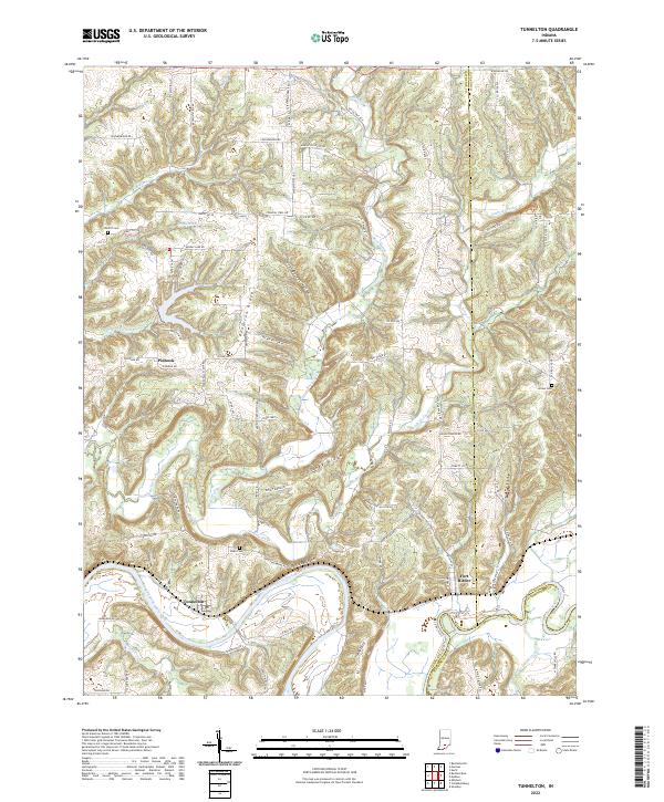
2022 Tunnelton
Lawrence County, IN