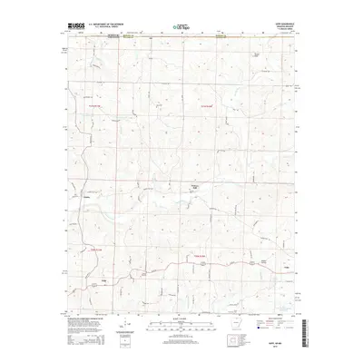
2014 Map of Gepp
USGS Topo · Published 2014About this map
The Bennetts River meanders across the hilly landscape of Fulton County, Arkansas, anchoring a region defined by small crossroad settlements and upland ridges. Along the southern corridor of Us-62 W, the communities of Gepp and Viola serve as primary hubs, while the northern border with Missouri is marked by the quiet locales of Ott and Vidette. This terrain is deeply etched with small waterways like Little Cr and Shipman Br, which drain toward the river through valleys such as Mashie Hollow.
Find a feature on this map
71 named features on this map. Tap any name to fly to it.
Don’t see what you’re looking for? This feature index may not catch every label — zoom into the map to look around manually.
Map Details
Editions of this 2014 Gepp Map
This is the sole edition of this map. No revisions or reprints were ever made.
Other maps of this area

1890 · Mountain Home
USGS Topo · 1:125,000

1891 · Mountain Home
USGS Topo · 1:125,000

1894 · Mountain Home
USGS Topo · 1:125,000

1944 · West Plains
USGS Topo · 1:62,500

1944 · Cureall
USGS Topo · 1:62,500

1945 · Harrison
USGS Topo · 1:250,000

1946 · West Plains
USGS Topo · 1:62,500

1946 · Cureall
USGS Topo · 1:62,500

1949 · Harrison
USGS Topo · 1:250,000

1950 · Salem
USGS Topo · 1:62,500