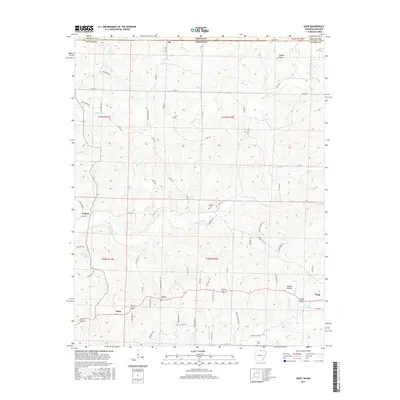
2017 Map of Gepp
USGS Topo · Published 2017About this map
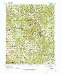
The Bennetts River and its numerous tributaries, including Cotter Br and Taylor Foster Br, define the landscape of this Arkansas-Missouri borderland. Small rural centers like Gepp and Viola are connected by a network of local roads such as Pickren Hall Rd and Elmwood Trl. This area in Fulton County is marked by a deep genealogical footprint, with several family and community burial grounds including Hurst Cem, Pickren Cem, and the uniquely named Gobbler Trot Cem situated along the ridges. The terrain transitions from the heights of Turkey Knob in the north down toward Lake Bertie and Shipman Cr in the southeast. This map captures the persistence of these small Ozark settlements, where the placement of schools and churches often followed the winding paths of hollows like Mashie Hollow and Poor Hollow Br.
Find a feature on this map
74 named features on this map. Tap any name to fly to it.
Don’t see what you’re looking for? This feature index may not catch every label — zoom into the map to look around manually.
Map Details
Editions of this 2017 Gepp Map
This is the sole edition of this map. No revisions or reprints were ever made.
Other maps of this area
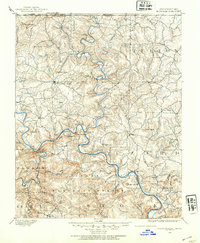
1890 · Mountain Home
USGS Topo · 1:125,000
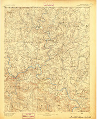
1891 · Mountain Home
USGS Topo · 1:125,000
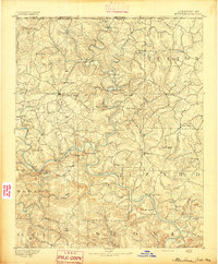
1894 · Mountain Home
USGS Topo · 1:125,000
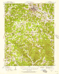
1944 · West Plains
USGS Topo · 1:62,500
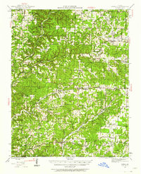
1944 · Cureall
USGS Topo · 1:62,500

1945 · Harrison
USGS Topo · 1:250,000
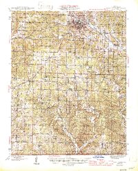
1946 · West Plains
USGS Topo · 1:62,500
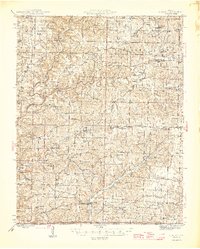
1946 · Cureall
USGS Topo · 1:62,500

1949 · Harrison
USGS Topo · 1:250,000
1950 · Salem
USGS Topo · 1:62,500