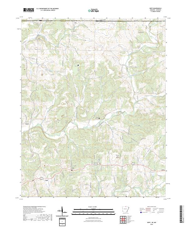
2024 Map of Gepp
USGS Topo · Published 2024About this map
Bennetts River carves a winding path through the Ozark foothills of north-central Arkansas along the Missouri border, where the communities of Gepp, Viola, Vidette, and Ott define the local geography. The landscape is characterized by its numerous family and community landmarks, such as Hurst Cem and Pickren Hall Cem, which provide essential points of reference for genealogists and local historians. The presence of Southern View Aviation near Viola highlights the region's contemporary infrastructure, while features like Turkey Knob and the various branches of the river system, including Taylor Foster Branch and Poor Hollow Branch, emphasize the deeply dissected terrain. The dense network of county roads, such as Co RD 12 and Fiora Cemetery Rd, connects these scattered settlements, revealing a rural transport pattern that follows the natural contours of the Ozark Plateau.
Find a feature on this map
75 named features on this map. Tap any name to fly to it.
Don’t see what you’re looking for? This feature index may not catch every label — zoom into the map to look around manually.
Map Details
Editions of this 2024 Gepp Map
This is the sole edition of this map. No revisions or reprints were ever made.
Other maps of this area

1890 · Mountain Home
USGS Topo · 1:125,000

1891 · Mountain Home
USGS Topo · 1:125,000

1894 · Mountain Home
USGS Topo · 1:125,000

1944 · West Plains
USGS Topo · 1:62,500

1944 · Cureall
USGS Topo · 1:62,500

1945 · Harrison
USGS Topo · 1:250,000

1946 · West Plains
USGS Topo · 1:62,500

1946 · Cureall
USGS Topo · 1:62,500

1949 · Harrison
USGS Topo · 1:250,000

1950 · Salem
USGS Topo · 1:62,500