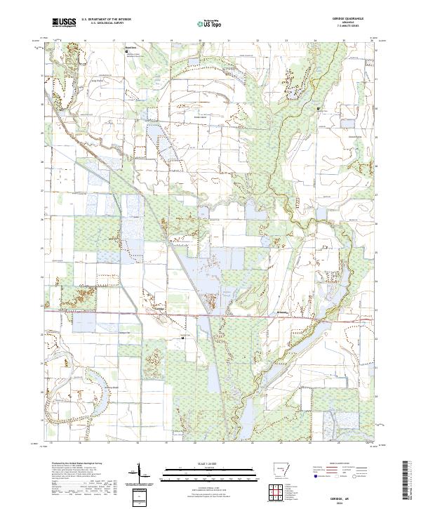
2024 Map of Geridge
USGS Topo · Published 2024About this map
The low-lying wetlands and agricultural expanses of the Grand Prairie region dominate this 2024 survey of Lonoke and Prairie Counties. Historically shaped by the meandering Bayou Meto and Bayou Two Prairie, the landscape is a patchwork of drainage features like Big Ditch and natural depressions such as Gum Swamp and Buffalo Slough. Small agricultural crossroads like Geridge and Brummitt serve as focal points for the surrounding farmsteads, while the community of Hamilton is anchored by the Hamilton United Methodist Church Cem.
Find a feature on this map
60 named features on this map. Tap any name to fly to it.
Don’t see what you’re looking for? This feature index may not catch every label — zoom into the map to look around manually.
Map Details
Editions of this 2024 Geridge Map
This is the sole edition of this map. No revisions or reprints were ever made.
Other maps of this area

1935 · Altheimer
USGS Topo · 1:62,500

1937 · Stuttgart
USGS Topo · 1:62,500

1937 · England
USGS Topo · 1:48,000

1939 · Stuttgart
USGS Topo · 1:62,500

1941 · Goldman
USGS Topo · 1:62,500

1943 · England
USGS Topo · 1:62,500

1948 · Helena
USGS Topo · 1:250,000

1950 · Helena
USGS Topo · 1:250,000

1955 · Helena
USGS Topo · 1:250,000

1959 · Helena
USGS Topo · 1:250,000