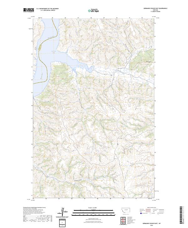
2024 Map of Germaine Coulee East
USGS Topo · Published 2024About this map
Fort Peck Lake and the winding Missouri River define the northwestern corner of this territory, where the water meets the dramatic breaks and drainage systems of central Montana. The landscape is heavily influenced by the protected reaches of the UL Bend Wilderness and the UL Bend-National Wildlife Refuge, preserving a vast network of coulees that channel seasonal runoff toward the river basin. Key drainages including Sandburn Coulee and Germaine Coulee carve through the terrain, illustrating the intricate erosional patterns characteristic of the Garfield County breaks. High points such as Baker Point offer overlooks across a landscape largely defined by its lack of modern development, focusing instead on the intersection of public lands and the Missouri's historical waterway. Local history enthusiasts can trace the intricate network of seasonal streams like Nancy Russell Creek and Grass Coulee as they descend toward the lake shore.
Find a feature on this map
15 named features on this map. Tap any name to fly to it.
Don’t see what you’re looking for? This feature index may not catch every label — zoom into the map to look around manually.
Map Details
Editions of this 2024 Germaine Coulee East Map
This is the sole edition of this map. No revisions or reprints were ever made.
Other maps of this area

1954 · Jordan
USGS Topo · 1:250,000

1956 · Jordan
USGS Topo · 1:250,000

1958 · Jordan
USGS Topo · 1:250,000

1964 · Jordan
USGS Topo · 1:250,000

1965 · Germaine Coulee East
USGS Topo · 1:24,000

1965 · Germaine Coulee West
USGS Topo · 1:24,000

1965 · Lost Creek
USGS Topo · 1:24,000

1965 · Locke Ranch
USGS Topo · 1:24,000

1965 · Cap Rock Butte
USGS Topo · 1:24,000
1965 · Mickey Butte
USGS Topo · 1:24,000