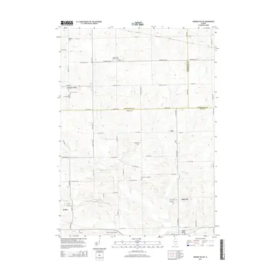
2015 Map of German Valley
USGS Topo · Published 2015About this map
The Leaf River winds through the southern portion of this northern Illinois landscape, where the borders of Ogle, Stephenson, and Winnebago counties converge. Centered around German Valley, the terrain is defined by a dense network of country roads like Montague Rd and Rock City Rd that connect small agricultural settlements. This area is notably dense with early community foundations, including the Ridott Christian Reformed Cem and Silver Creek Reformed Cem, which speak to the religious heritage of the local settlers. Further south, the map details the villages of Adeline and Leaf River, alongside smaller locales such as Egan and Lightsville. The drainage patterns of Otter Cr and Mud Cr illustrate the natural irrigation that supported the region's farming economy, while the Rock Cut Farms Airport provides evidence of more modern local transit infrastructure.
Find a feature on this map
57 named features on this map. Tap any name to fly to it.
Don’t see what you’re looking for? This feature index may not catch every label — zoom into the map to look around manually.
Map Details
Editions of this 2015 German Valley Map
This is the sole edition of this map. No revisions or reprints were ever made.
Other maps of this area

1922 · Oregon
USGS Topo · 1:62,500

1924 · Oregon
USGS Topo · 1:62,500

1932 · Pecatonica
USGS Topo · 1:62,500

1936 · Pecatonica
USGS Topo · 1:62,500

1939 · Freeport
USGS Topo · 1:48,000

1942 · Forreston
USGS Topo · 1:62,500

1944 · Freeport
USGS Topo · 1:62,500

1945 · Forreston
USGS Topo · 1:62,500

1954 · Rockford
USGS Topo · 1:250,000

1955 · Rockford
USGS Topo · 1:250,000