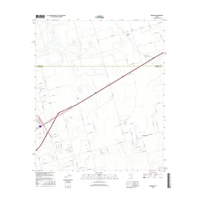
2016 Map of Germania
USGS Topo · Published 2016About this map
Germania and Greenwood occupy the heart of this Permian Basin landscape, where the flat Texas plains are defined by a rigorous grid of section lines and rural roads. The northern reach of the map is marked by the subtle drainage of Mustang Draw and the isolated depression of Salt Lake, providing rare topographical relief in an area dominated by agricultural and energy interests.
Find a feature on this map
81 named features on this map. Tap any name to fly to it.
Don’t see what you’re looking for? This feature index may not catch every label — zoom into the map to look around manually.
Map Details
Editions of this 2016 Germania Map
This is the sole edition of this map. No revisions or reprints were ever made.
Other maps of this area

1954 · Hobbs
USGS Topo · 1:250,000

1954 · Pecos
USGS Topo · 1:250,000

1954 · Big Spring
USGS Topo · 1:250,000

1954 · San Angelo
USGS Topo · 1:250,000

1957 · Pecos
USGS Topo · 1:250,000

1958 · San Angelo
USGS Topo · 1:250,000

1958 · Big Spring
USGS Topo · 1:250,000

1958 · Hobbs
USGS Topo · 1:250,000

1965 · San Angelo
USGS Topo · 1:250,000

1965 · Southeast Midland
USGS Topo · 1:24,000