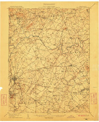
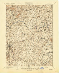
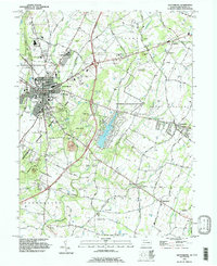
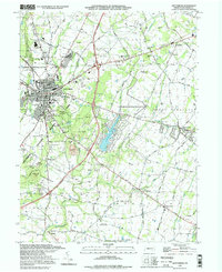
1908 Map of Gettysburg
USGS Topo · Published 1912About this map
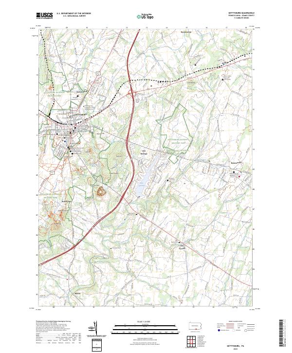
Gettysburg serves as the hub for a dense network of pikes and rail lines in this early 20th-century survey, just decades after the terrain became the site of a pivotal American conflict. The map provides an exceptionally clear record of the ridges and heights that shaped local movements, from Seminary Ridge and Oak Ridge to the high ground at Cemetery Hill, Culp's Hill, and Little Round Top. Outside the borough, the landscape is defined by agricultural townships like Straban and Mount Pleasant, where numerous rural schools and churches anchored small communities.
Find a feature on this map
136 named features on this map. Tap any name to fly to it.
Don’t see what you’re looking for? This feature index may not catch every label — zoom into the map to look around manually.
Map Details
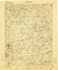
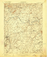
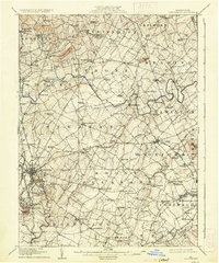
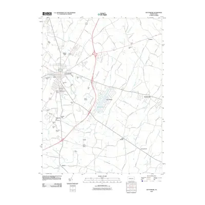
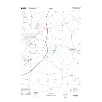
Editions of this 1908 Gettysburg Map
6 editions found

Historical Maps of Gettysburg Through Time
12 maps found
1908 Gettysburg
Adams County, PA

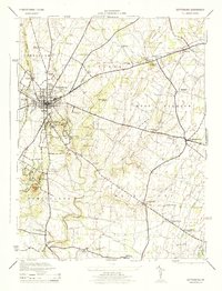
1942 Gettysburg
Adams County, PA
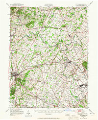
1944 Gettysburg
Adams County, PA
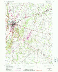
1951 Gettysburg
Adams County, PA
1951 Gettysburg
Adams County, PA
1990 Gettysburg
Adams County, PA
1994 Gettysburg
Adams County, PA
2010 Gettysburg
Adams County, PA
2013 Gettysburg
Adams County, PA
2016 Gettysburg
Adams County, PA
2019 Gettysburg
Adams County, PA
2023 Gettysburg
Adams County, PA