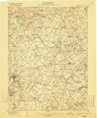
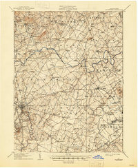
1908 Map of Gettysburg
USGS Topo · Published 1918About this map
Gettysburg sits at the nexus of several historic thoroughfares, including the Baltimore Pike, Harrisburg Pike, and Emmitsburg Road, in this detailed 1908 survey. The landscape is defined by its famous topographical landmarks such as Cemetery Hill, Culp's Hill, and Wolf Hill, alongside the iconic elevations of Round Top and Little Round Top to the south. Beyond the borough, the map reveals a dense network of early 20th-century rural infrastructure, from the Western Maryland RR lines to numerous small schools like Rocky Grove School and Mt Vernon School.
Find a feature on this map
132 named features on this map. Tap any name to fly to it.
Don’t see what you’re looking for? This feature index may not catch every label — zoom into the map to look around manually.
Map Details
Editions of this 1908 Gettysburg Map
6 editions found
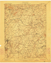
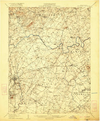
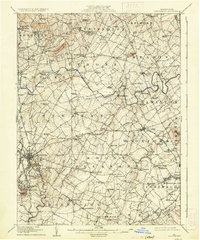
Other maps of this area

1904 · Carlisle
USGS Topo · 1:62,500

1905 · Westminster
USGS Topo · 1:62,500

1906 · New Cumberland
USGS Topo · 1:62,500

1908 · Gettysburg
USGS Topo · 1:62,500

1909 · Fairfield
USGS Topo · 1:62,500

1911 · Taneytown
USGS Topo · 1:62,500

1911 · Emmitsburg
USGS Topo · 1:62,500

1919 · Newville
USGS Topo · 1:62,500

1920 · Hanover
USGS Topo · 1:62,500

1922 · Hanover
USGS Topo · 1:62,500