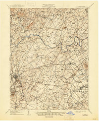
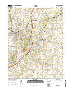
1908 Map of Gettysburg
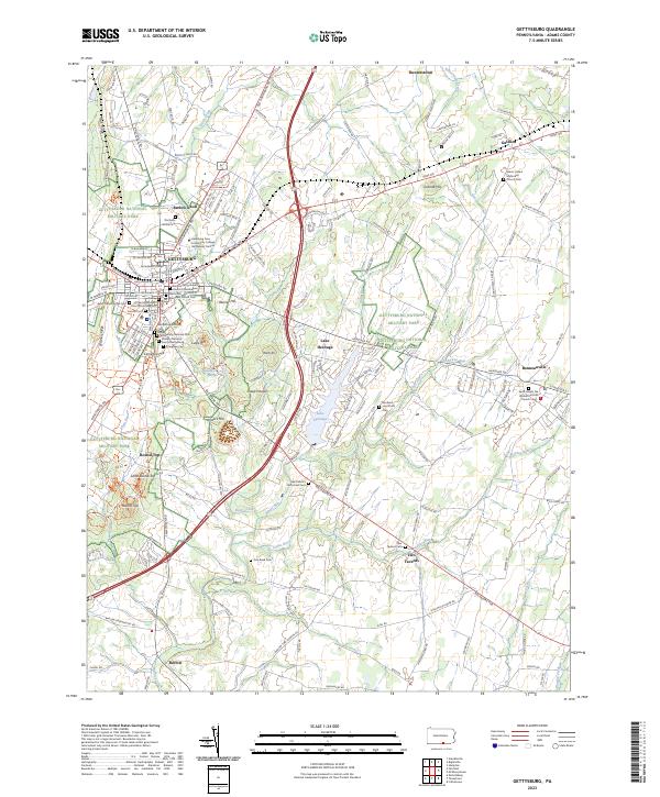
USGS Topo · Published 1937About this map
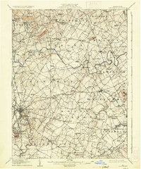
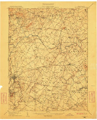
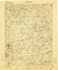
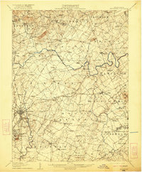
Gettysburg serves as the focal point of this Adams County landscape, surveyed decades after the Civil War but before modern development reshaped the hallowed grounds. The map detail highlights the critical elevation and ridges that dictated movement during the 1863 battle, including Seminary Ridge, Oak Ridge, and the iconic Round Top and Little Round Top to the south. Beyond the town center, a dense network of country schools like Moritz School and Rocky Grove School illustrates the rural social structure of the early 20th century. The transportation corridor is defined by the Gettysburg and Harrisburg RR and the Western Maryland RR, which intersect the borough near Cemetery Hill. Surrounding townships like Straban and Mount Pleasant are dotted with family-named mills such as Bream Mill and Hershey Mill, marking a transition from a purely agricultural economy to localized industrial processing.
Find a feature on this map
141 named features on this map. Tap any name to fly to it.
Don’t see what you’re looking for? This feature index may not catch every label — zoom into the map to look around manually.
Map Details
Editions of this 1908 Gettysburg Map
6 editions found

Historical Maps of Gettysburg Through Time
12 maps found
1908 Gettysburg
Adams County, PA

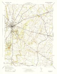
1942 Gettysburg
Adams County, PA
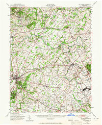
1944 Gettysburg
Adams County, PA
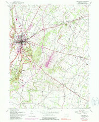
1951 Gettysburg
Adams County, PA
1951 Gettysburg
Adams County, PA
1990 Gettysburg
Adams County, PA
1994 Gettysburg
Adams County, PA
2010 Gettysburg
Adams County, PA
2013 Gettysburg
Adams County, PA
2016 Gettysburg
Adams County, PA
2019 Gettysburg
Adams County, PA
2023 Gettysburg
Adams County, PA