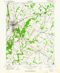
1951 Map of Gettysburg
USGS Topo · Published 1964About this map
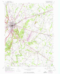
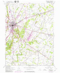
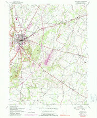
Gettysburg National Military Park dominates the landscape of this 1951 study, showing the preservation of the battlefield nearly a century after the conflict. The map documents the intricate network of commemorative infrastructure, from United States Avenue to the Peace Memorial and Stein Memorial. Beyond the park boundaries, the borough of Gettysburg is depicted with its institutional core intact, featuring Gettysburg College, the Lutheran Sem, and the County Home.
Find a feature on this map
67 named features on this map. Tap any name to fly to it.
Don’t see what you’re looking for? This feature index may not catch every label — zoom into the map to look around manually.
Map Details
Editions of this 1951 Gettysburg Map
7 editions found
Other maps of this area

1908 · Gettysburg
USGS Topo · 1:62,500

1909 · Fairfield
USGS Topo · 1:62,500

1911 · Taneytown
USGS Topo · 1:62,500

1911 · Emmitsburg
USGS Topo · 1:62,500

1942 · Gettysburg
USGS Topo · 1:125,000

1943 · Emmitsburg
USGS Topo · 1:62,500

1944 · Gettysburg
USGS Topo · 1:31,680

1944 · Mc Sherrystown
USGS Topo · 1:31,680

1944 · Littlestown
USGS Topo · 1:31,680

1944 · Arendtsville
USGS Topo · 1:31,680